Distance to Litchfield, Michigan

Calculating Your Route
Just a moment while we process your request...
Location Information
-
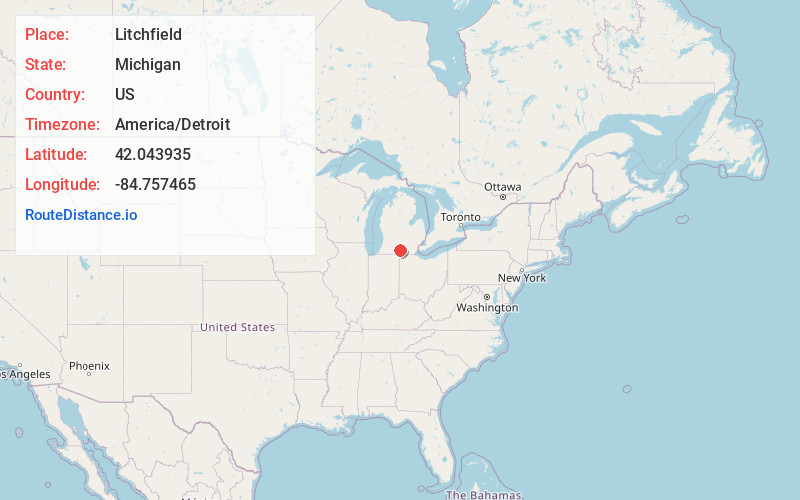
Full AddressLitchfield, MI 49252
-
Coordinates42.0439345, -84.7574647
-
LocationLitchfield , Michigan , US
-
TimezoneAmerica/Detroit
-
Current Local Time3:29:57 AM America/DetroitSaturday, May 31, 2025
-
Page Views0
About Litchfield
Litchfield is a city in Hillsdale County in the U.S. state of Michigan. The population was 1,399 at the 2020 census.
The city is surrounded by Litchfield Township, but the two are administered autonomously.
Nearby Places
Found 10 places within 50 miles

Jonesville
6.4 mi
10.3 km
Jonesville, MI 49250
Get directions

Homer
7.5 mi
12.1 km
Homer, MI 49245
Get directions

Quincy
9.5 mi
15.3 km
Quincy, MI 49082
Get directions

Hillsdale
10.8 mi
17.4 km
Hillsdale, MI
Get directions

Albion
13.8 mi
22.2 km
Albion, MI 49224
Get directions

Reading
14.1 mi
22.7 km
Reading, MI 49274
Get directions

Coldwater
14.4 mi
23.2 km
Coldwater, MI 49036
Get directions

Spring Arbor
15.3 mi
24.6 km
Spring Arbor, MI 49283
Get directions

Marshall
19.0 mi
30.6 km
Marshall, MI 49068
Get directions

Union City
19.5 mi
31.4 km
Union City, MI
Get directions
Location Links
Local Weather
Weather Information
Coming soon!
Location Map
Static map view of Litchfield, Michigan
Browse Places by Distance
Places within specific distances from Litchfield
Short Distances
Long Distances
Click any distance to see all places within that range from Litchfield. Distances shown in miles (1 mile ≈ 1.61 kilometers).