Distance to Little Alps, Oregon

Calculating Your Route
Just a moment while we process your request...
Location Information
-
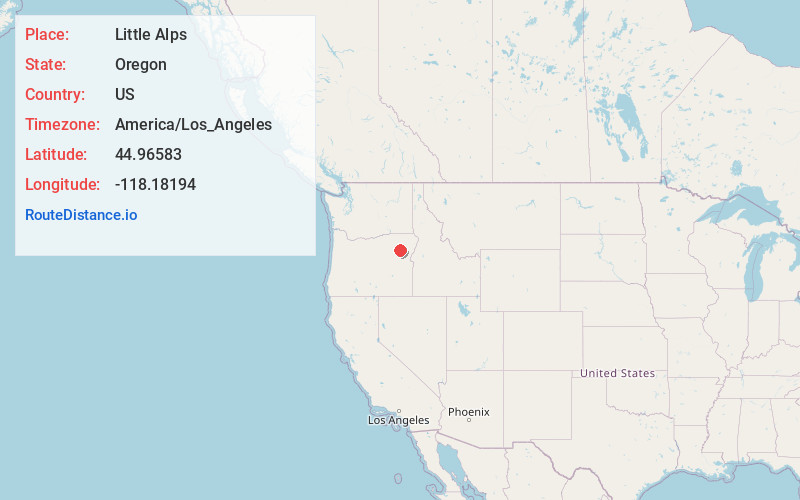
Full AddressLittle Alps, OR 97814
-
Coordinates44.9658299, -118.18194
-
LocationLittle Alps , Oregon , US
-
TimezoneAmerica/Los_Angeles
-
Current Local Time11:38:33 AM America/Los_AngelesTuesday, June 24, 2025
-
Page Views0
About Little Alps
Little Alps is an unincorporated community in Baker County, Oregon, United States. Formerly a ski resort, Little Alps is now a gravel pit.


Nearby Places
Found 10 places within 50 miles

Bourne
9.8 mi
15.8 km
Bourne, OR 97814
Get directions

Hutchinson
10.0 mi
16.1 km
Hutchinson, OR 97833
Get directions
Cabell City
10.3 mi
16.6 km
Cabell City, OR 97877
Get directions

Haines
12.5 mi
20.1 km
Haines, OR 97833
Get directions

North Powder
13.5 mi
21.7 km
North Powder, OR 97867
Get directions

Sumpter
15.2 mi
24.5 km
Sumpter, OR 97877
Get directions

Wingville
15.4 mi
24.8 km
Wingville, OR 97814
Get directions

Granite
15.8 mi
25.4 km
Granite, OR 97877
Get directions

McEwen
18.7 mi
30.1 km
McEwen, OR 97814
Get directions

Telocaset
19.7 mi
31.7 km
Telocaset, OR
Get directions
Location Links
Local Weather
Weather Information
Coming soon!
Location Map
Static map view of Little Alps, Oregon
Browse Places by Distance
Places within specific distances from Little Alps
Short Distances
Long Distances
Click any distance to see all places within that range from Little Alps. Distances shown in miles (1 mile ≈ 1.61 kilometers).