Distance to Little Port Brook, North Carolina

Calculating Your Route
Just a moment while we process your request...
Location Information
-
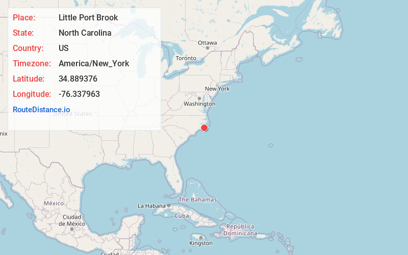
Full AddressLittle Port Brook, North Carolina 28511
-
Coordinates34.889376, -76.3379627
-
LocationNorth Carolina , US
-
TimezoneAmerica/New_York
-
Current Local Time12:29:57 AM America/New_YorkWednesday, June 18, 2025
-
Page Views0
Nearby Places
Found 10 places within 50 miles

Atlantic
0.3 mi
0.5 km
Atlantic, NC 28511
Get directions

Sealevel
3.4 mi
5.5 km
Sealevel, NC 28577
Get directions

Davis
9.4 mi
15.1 km
Davis, NC 28524
Get directions
Lukens
14.5 mi
23.3 km
Lukens, NC 28516
Get directions

Otway
14.8 mi
23.8 km
Otway, NC 28516
Get directions

Marshallberg
15.0 mi
24.1 km
Marshallberg, NC 28553
Get directions
Gloucester
16.1 mi
25.9 km
Gloucester, NC 28528
Get directions
Bettie
16.1 mi
25.9 km
Bettie, NC 28516
Get directions
Merrimon
17.6 mi
28.3 km
Merrimon, NC 28516
Get directions

Harkers Island
18.4 mi
29.6 km
Harkers Island, NC 28531
Get directions
Location Links
Local Weather
Weather Information
Coming soon!
Location Map
Static map view of Little Port Brook, North Carolina
Browse Places by Distance
Places within specific distances from Little Port Brook
Short Distances
Long Distances
Click any distance to see all places within that range from Little Port Brook. Distances shown in miles (1 mile ≈ 1.61 kilometers).