Distance to Little Rock, Iowa

Calculating Your Route
Just a moment while we process your request...
Location Information
-
Full AddressLittle Rock, IA 51243
-
Coordinates43.4441353, -95.8833524
-
LocationLittle Rock , Iowa , US
-
TimezoneAmerica/Chicago
-
Current Local Time12:01:35 PM America/ChicagoWednesday, June 18, 2025
-
Page Views0
About Little Rock
Little Rock is an incorporated city in Lyon County, Iowa, United States, along the Little Rock River. The population was 439 at the time of the 2020 census. The zip code for Little Rock is 51243.
Nearby Places
Found 10 places within 50 miles

Sibley
7.3 mi
11.7 km
Sibley, IA 51249
Get directions

Ellsworth
8.5 mi
13.7 km
Ellsworth, MN 56129
Get directions

George
9.1 mi
14.6 km
George, IA 51237
Get directions

Ashton
10.3 mi
16.6 km
Ashton, IA 51232
Get directions

Adrian
13.4 mi
21.6 km
Adrian, MN 56110
Get directions

Rock Rapids
14.7 mi
23.7 km
Rock Rapids, IA 51246
Get directions

Ocheyedan
17.6 mi
28.3 km
Ocheyedan, IA 51354
Get directions

Sheldon
18.2 mi
29.3 km
Sheldon, IA 51201
Get directions
Boyden
18.5 mi
29.8 km
Boyden, IA 51234
Get directions

Worthington
19.0 mi
30.6 km
Worthington, MN
Get directions
Location Links
Local Weather
Weather Information
Coming soon!
Location Map
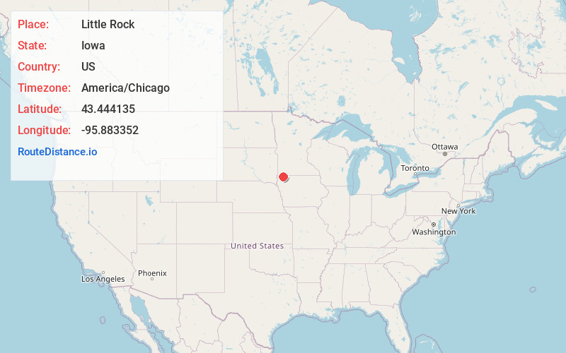
Static map view of Little Rock, Iowa
Browse Places by Distance
Places within specific distances from Little Rock
Short Distances
Long Distances
Click any distance to see all places within that range from Little Rock. Distances shown in miles (1 mile ≈ 1.61 kilometers).