Distance to Sheldon, Iowa

Calculating Your Route
Just a moment while we process your request...
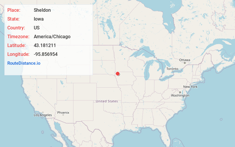
Location Information
-
Full AddressSheldon, IA 51201
-
Coordinates43.1812107, -95.8569539
-
LocationSheldon , Iowa , US
-
TimezoneAmerica/Chicago
-
Current Local Time4:00:51 PM America/ChicagoFriday, June 20, 2025
-
Page Views0
About Sheldon
Sheldon is a city in O'Brien and Sioux counties in the U.S. state of Iowa, along the Floyd River. The population was 5,512 at the time of the 2020 census; it is the largest city in O'Brien County.


Nearby Places
Found 8 places within 50 miles

Orange City
15.7 mi
25.3 km
Orange City, IA
Get directions

Sioux Center
17.5 mi
28.2 km
Sioux Center, IA 51250
Get directions

Le Mars
31.0 mi
49.9 km
Le Mars, IA 51031
Get directions

Worthington
33.1 mi
53.3 km
Worthington, MN
Get directions

Spencer
36.0 mi
57.9 km
Spencer, IA 51301
Get directions

Harrisburg
45.7 mi
73.5 km
Harrisburg, SD
Get directions

Brandon
45.9 mi
73.9 km
Brandon, SD 57005
Get directions

Storm Lake
49.8 mi
80.1 km
Storm Lake, IA 50588
Get directions
Location Links
Local Weather
Weather Information
Coming soon!
Location Map
Static map view of Sheldon, Iowa
Browse Places by Distance
Places within specific distances from Sheldon
Short Distances
Long Distances
Click any distance to see all places within that range from Sheldon. Distances shown in miles (1 mile ≈ 1.61 kilometers).