Distance to Littleton, Utah

Calculating Your Route
Just a moment while we process your request...
Location Information
-
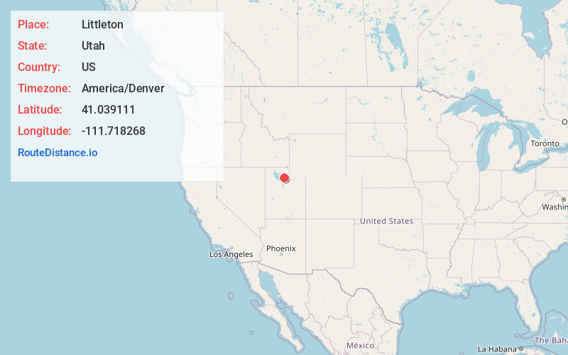
Full AddressLittleton, UT 84050
-
Coordinates41.0391114, -111.7182677
-
LocationUtah , US
-
TimezoneAmerica/Denver
-
Current Local Time11:53:07 PM America/DenverFriday, June 20, 2025
-
Page Views0
Nearby Places
Found 10 places within 50 miles

Milton
1.6 mi
2.6 km
Milton, UT 84050
Get directions
Stoddard
2.0 mi
3.2 km
Stoddard, UT 84050
Get directions

Morgan
2.2 mi
3.5 km
Morgan, UT 84050
Get directions
Richville
2.6 mi
4.2 km
Richville, UT 84050
Get directions
Como Springs
3.3 mi
5.3 km
Como Springs, UT 84050
Get directions

Porterville
4.5 mi
7.2 km
Porterville, UT 84050
Get directions

Taggarts
6.7 mi
10.8 km
Taggarts, UT 84050
Get directions

Mountain Green
8.1 mi
13.0 km
Mountain Green, UT 84050
Get directions

Devils Slide
9.0 mi
14.5 km
Devils Slide, Utah 84050
Get directions

Fruit Heights
9.6 mi
15.4 km
Fruit Heights, UT 84037
Get directions
Location Links
Local Weather
Weather Information
Coming soon!
Location Map
Static map view of Littleton, Utah
Browse Places by Distance
Places within specific distances from Littleton
Short Distances
Long Distances
Click any distance to see all places within that range from Littleton. Distances shown in miles (1 mile ≈ 1.61 kilometers).