Distance to Taggarts, Utah

Calculating Your Route
Just a moment while we process your request...
Location Information
-
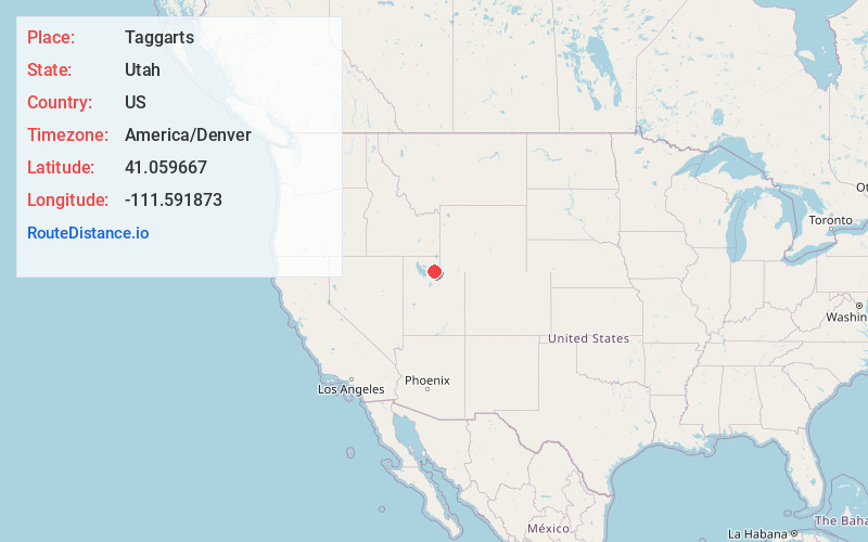
Full AddressTaggarts, UT 84050
-
Coordinates41.0596671, -111.5918732
-
LocationUtah , US
-
TimezoneAmerica/Denver
-
Current Local Time12:40:00 PM America/DenverThursday, June 19, 2025
-
Page Views0


Nearby Places
Found 10 places within 50 miles

Morgan
4.7 mi
7.6 km
Morgan, UT 84050
Get directions

Henefer
5.7 mi
9.2 km
Henefer, UT
Get directions

Echo
9.7 mi
15.6 km
Echo, UT
Get directions

Mountain Green
11.9 mi
19.2 km
Mountain Green, UT 84050
Get directions

Coalville
14.0 mi
22.5 km
Coalville, UT 84017
Get directions

Fruit Heights
16.3 mi
26.2 km
Fruit Heights, UT 84037
Get directions

Farmington
16.4 mi
26.4 km
Farmington, UT 84025
Get directions

Huntsville
16.7 mi
26.9 km
Huntsville, UT 84317
Get directions

Hoytsville
16.9 mi
27.2 km
Hoytsville, UT 84017
Get directions

Centerville
17.6 mi
28.3 km
Centerville, UT
Get directions
Location Links
Local Weather
Weather Information
Coming soon!
Location Map
Static map view of Taggarts, Utah
Browse Places by Distance
Places within specific distances from Taggarts
Short Distances
Long Distances
Click any distance to see all places within that range from Taggarts. Distances shown in miles (1 mile ≈ 1.61 kilometers).