Distance to Henefer, Utah

Calculating Your Route
Just a moment while we process your request...
Location Information
-
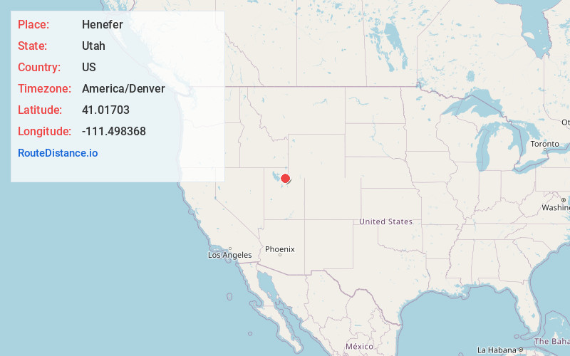
Full AddressHenefer, UT
-
Coordinates41.0170302, -111.4983684
-
LocationHenefer , Utah , US
-
TimezoneAmerica/Denver
-
Current Local Time9:22:40 PM America/DenverSaturday, June 14, 2025
-
Website
-
Page Views0
About Henefer
Henefer is a town in Summit County, Utah, United States. It is part of the Salt Lake City, Utah Metropolitan Statistical Area. The population was 766 at the 2010 census.


Nearby Places
Found 10 places within 50 miles

Coalville
8.6 mi
13.8 km
Coalville, UT 84017
Get directions

Morgan
9.4 mi
15.1 km
Morgan, UT 84050
Get directions

Hoytsville
11.6 mi
18.7 km
Hoytsville, UT 84017
Get directions

Mountain Green
17.6 mi
28.3 km
Mountain Green, UT 84050
Get directions

Silver Summit
17.8 mi
28.6 km
Silver Summit, UT 84098
Get directions

Farmington
20.4 mi
32.8 km
Farmington, UT 84025
Get directions

Centerville
20.7 mi
33.3 km
Centerville, UT
Get directions

Fruit Heights
21.1 mi
34.0 km
Fruit Heights, UT 84037
Get directions

Snyderville
21.8 mi
35.1 km
Snyderville, UT 84098
Get directions

Bountiful
21.8 mi
35.1 km
Bountiful, UT 84010
Get directions
Location Links
Local Weather
Weather Information
Coming soon!
Location Map
Static map view of Henefer, Utah
Browse Places by Distance
Places within specific distances from Henefer
Short Distances
Long Distances
Click any distance to see all places within that range from Henefer. Distances shown in miles (1 mile ≈ 1.61 kilometers).