Distance to Hoytsville, Utah

Calculating Your Route
Just a moment while we process your request...
Location Information
-
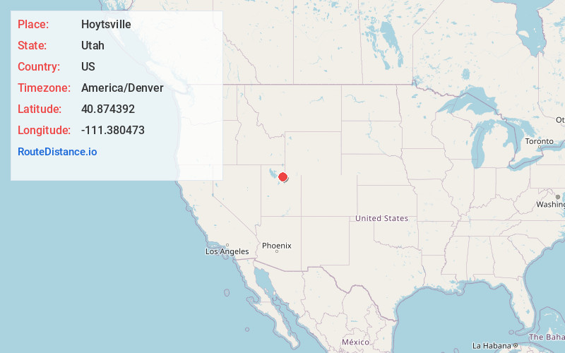
Full AddressHoytsville, UT 84017
-
Coordinates40.8743922, -111.3804732
-
LocationHoytsville , Utah , US
-
TimezoneAmerica/Denver
-
Current Local Time4:04:25 PM America/DenverWednesday, June 18, 2025
-
Page Views0
About Hoytsville
Hoytsville is a census-designated place in western Summit County, Utah, United States. Hoytsville is named for early settler Samuel P. Hoyt. It is bordered by Coalville to the north, and by Wanship on the south. The population was 607 at the 2010 census.
Nearby Places
Found 10 places within 50 miles

Coalville
3.2 mi
5.1 km
Coalville, UT 84017
Get directions

Silver Summit
10.4 mi
16.7 km
Silver Summit, UT 84098
Get directions

Oakley
11.8 mi
19.0 km
Oakley, UT
Get directions

Snyderville
13.7 mi
22.0 km
Snyderville, UT 84098
Get directions

Hideout
16.1 mi
25.9 km
Hideout, UT
Get directions

Kamas
16.8 mi
27.0 km
Kamas, UT 84036
Get directions

Park City
16.9 mi
27.2 km
Park City, UT
Get directions

Francis
19.0 mi
30.6 km
Francis, UT 84036
Get directions

Morgan
19.1 mi
30.7 km
Morgan, UT 84050
Get directions

Emigration Canyon
21.5 mi
34.6 km
Emigration Canyon, UT 84108
Get directions
Location Links
Local Weather
Weather Information
Coming soon!
Location Map
Static map view of Hoytsville, Utah
Browse Places by Distance
Places within specific distances from Hoytsville
Short Distances
Long Distances
Click any distance to see all places within that range from Hoytsville. Distances shown in miles (1 mile ≈ 1.61 kilometers).