Distance to Kamas, Utah

Calculating Your Route
Just a moment while we process your request...
Location Information
-
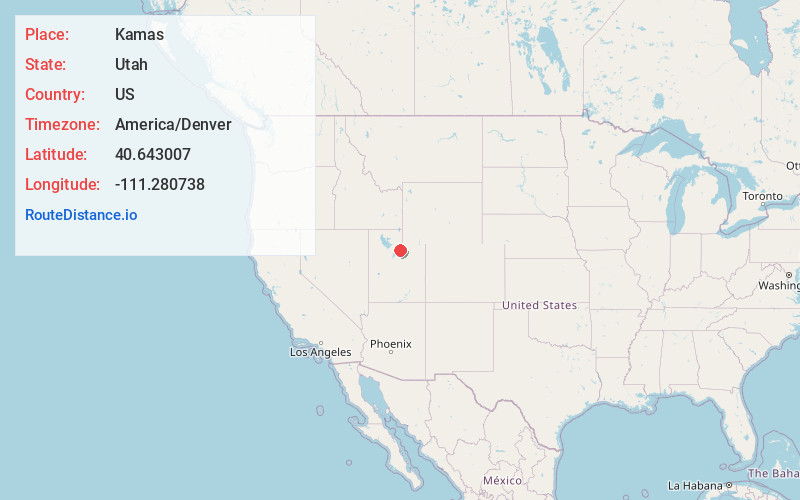
Full AddressKamas, UT 84036
-
Coordinates40.643007, -111.2807384
-
LocationKamas , Utah , US
-
TimezoneAmerica/Denver
-
Current Local Time6:02:52 PM America/DenverWednesday, June 18, 2025
-
Website
-
Page Views0
About Kamas
Kamas is a city in southwestern Summit County, Utah, United States. The population was 1,811 at the 2010 census. It is 42 miles east of downtown Salt Lake City. Its main industries are cattle ranching and lumber. The town is known as "The Gateway to the Uinta Mountains".


Nearby Places
Found 10 places within 50 miles

Park City
11.4 mi
18.3 km
Park City, UT
Get directions

Heber City
12.5 mi
20.1 km
Heber City, UT 84032
Get directions

Snyderville
12.7 mi
20.4 km
Snyderville, UT 84098
Get directions

Midway
13.5 mi
21.7 km
Midway, UT
Get directions

Cottonwood Heights
28.1 mi
45.2 km
Cottonwood Heights, UT
Get directions

Holladay
28.6 mi
46.0 km
Holladay, UT
Get directions

Alpine
29.2 mi
47.0 km
Alpine, UT 84004
Get directions

Cedar Hills
29.7 mi
47.8 km
Cedar Hills, UT 84062
Get directions

Sandy
29.8 mi
48.0 km
Sandy, UT
Get directions

Millcreek
30.8 mi
49.6 km
Millcreek, UT
Get directions
Location Links
Local Weather
Weather Information
Coming soon!
Location Map
Static map view of Kamas, Utah
Browse Places by Distance
Places within specific distances from Kamas
Short Distances
Long Distances
Click any distance to see all places within that range from Kamas. Distances shown in miles (1 mile ≈ 1.61 kilometers).