Distance to Alpine, Utah

Calculating Your Route
Just a moment while we process your request...
Location Information
-
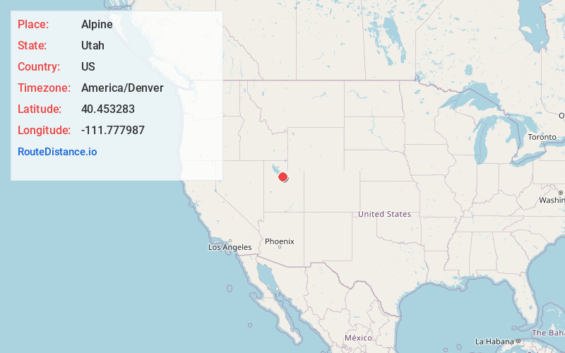
Full AddressAlpine, UT 84004
-
Coordinates40.4532833, -111.7779865
-
LocationAlpine , Utah , US
-
TimezoneAmerica/Denver
-
Current Local Time3:26:34 AM America/DenverWednesday, June 18, 2025
-
Page Views0
About Alpine
Alpine is a city on the northeastern edge of Utah County, Utah, United States. The population was 10,251 at the time of the 2020 census. Alpine has been one of the many quickly-growing cities of Utah since the 1970s, especially in the 1990s. This city is thirty-two miles southeast of Salt Lake City.


Nearby Places
Found 10 places within 50 miles

Highland
2.2 mi
3.5 km
Highland, UT
Get directions

American Fork
5.4 mi
8.7 km
American Fork, UT 84003
Get directions

Lehi
5.7 mi
9.2 km
Lehi, UT
Get directions

Pleasant Grove
6.5 mi
10.5 km
Pleasant Grove, UT
Get directions

Draper
6.7 mi
10.8 km
Draper, UT
Get directions

Lindon
8.2 mi
13.2 km
Lindon, UT
Get directions

Sandy
8.4 mi
13.5 km
Sandy, UT
Get directions

Bluffdale
8.8 mi
14.2 km
Bluffdale, UT
Get directions

Riverton
9.7 mi
15.6 km
Riverton, UT
Get directions

Vineyard
10.3 mi
16.6 km
Vineyard, UT
Get directions
Location Links
Local Weather
Weather Information
Coming soon!
Location Map
Static map view of Alpine, Utah
Browse Places by Distance
Places within specific distances from Alpine
Short Distances
Long Distances
Click any distance to see all places within that range from Alpine. Distances shown in miles (1 mile ≈ 1.61 kilometers).