Distance to Liverpool, Texas

Calculating Your Route
Just a moment while we process your request...
Location Information
-
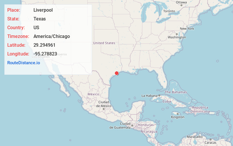
Full AddressLiverpool, TX
-
Coordinates29.2949612, -95.2788231
-
LocationLiverpool , Texas , US
-
TimezoneAmerica/Chicago
-
Current Local Time12:49:16 PM America/ChicagoThursday, June 19, 2025
-
Website
-
Page Views0
About Liverpool
Liverpool is a city in Brazoria County, Texas, United States, named after the city of Liverpool in England. It is located along the Union Pacific Railroad and County Road 171, northeast of Angleton and south of Alvin. The population was 475 at the 2020 census.


Nearby Places
Found 10 places within 50 miles

Danbury
6.1 mi
9.8 km
Danbury, TX 77534
Get directions
Hillcrest
7.6 mi
12.2 km
Hillcrest, TX 77511
Get directions

Alvin
9.1 mi
14.6 km
Alvin, TX
Get directions

Rosharon
11.6 mi
18.7 km
Rosharon, TX 77583
Get directions

Santa Fe
11.9 mi
19.2 km
Santa Fe, TX
Get directions

Manvel
12.5 mi
20.1 km
Manvel, TX
Get directions

Iowa Colony
13.0 mi
20.9 km
Iowa Colony, TX
Get directions

Angleton
13.0 mi
20.9 km
Angleton, TX 77515
Get directions

Holiday Lakes
15.5 mi
24.9 km
Holiday Lakes, TX 77515
Get directions

Hitchcock
16.3 mi
26.2 km
Hitchcock, TX
Get directions
Location Links
Local Weather
Weather Information
Coming soon!
Location Map
Static map view of Liverpool, Texas
Browse Places by Distance
Places within specific distances from Liverpool
Short Distances
Long Distances
Click any distance to see all places within that range from Liverpool. Distances shown in miles (1 mile ≈ 1.61 kilometers).