Distance to Loch Lomond, California

Calculating Your Route
Just a moment while we process your request...
Location Information
-
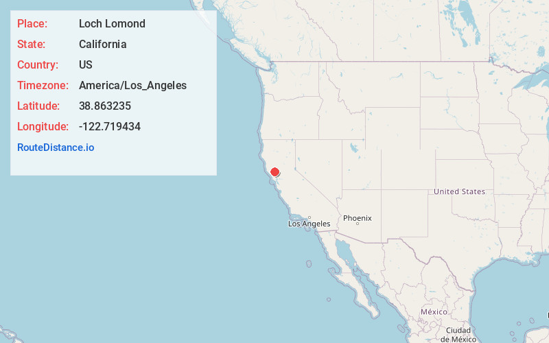
Full AddressLoch Lomond, CA 95461
-
Coordinates38.8632352, -122.7194335
-
LocationLoch Lomond , California , US
-
TimezoneAmerica/Los_Angeles
-
Current Local Time6:53:55 AM America/Los_AngelesThursday, May 29, 2025
-
Page Views0
About Loch Lomond
Loch Lomond is an unincorporated community in Lake County, California. It lies at an elevation of 2,818 feet. It is located on State Route 175 north of the village of Cobb; 3.5 miles north of Whispering Pines. The ZIP code is 95461, which is shared with Middletown.


Nearby Places
Found 10 places within 50 miles

Salminas Resort
1.0 mi
1.6 km
Salminas Resort, CA 95451
Get directions
Cobb
2.1 mi
3.4 km
Cobb, CA
Get directions

Lower Lake
6.7 mi
10.8 km
Lower Lake, CA 95457
Get directions

Clearlake
8.3 mi
13.4 km
Clearlake, CA
Get directions

Hidden Valley Lake
9.5 mi
15.3 km
Hidden Valley Lake, CA
Get directions

Middletown
9.5 mi
15.3 km
Middletown, CA 95461
Get directions

Kelseyville
10.2 mi
16.4 km
Kelseyville, CA 95451
Get directions

Soda Bay
10.2 mi
16.4 km
Soda Bay, CA 95451
Get directions

Geyserville
14.6 mi
23.5 km
Geyserville, CA
Get directions
Spring Valley
16.0 mi
25.7 km
Spring Valley, CA 95423
Get directions
Location Links
Local Weather
Weather Information
Coming soon!
Location Map
Static map view of Loch Lomond, California
Browse Places by Distance
Places within specific distances from Loch Lomond
Short Distances
Long Distances
Click any distance to see all places within that range from Loch Lomond. Distances shown in miles (1 mile ≈ 1.61 kilometers).