Distance to Lock Port, Ohio

Calculating Your Route
Just a moment while we process your request...
Location Information
-
Full AddressLock Port, Brady Township, OH 43570
-
Coordinates41.5497733, -84.3899494
-
LocationBrady Township , Ohio , US
-
TimezoneAmerica/New_York
-
Current Local Time6:57:54 AM America/New_YorkSaturday, June 21, 2025
-
Page Views0
Nearby Places
Found 10 places within 50 miles

Brady Township
1.8 mi
2.9 km
Brady Township, OH
Get directions

Stryker
3.4 mi
5.5 km
Stryker, OH 43557
Get directions

West Unity
3.4 mi
5.5 km
West Unity, OH 43570
Get directions

Elmira
4.7 mi
7.6 km
Elmira, German Township, OH 43502
Get directions

Archbold
4.7 mi
7.6 km
Archbold, OH 43502
Get directions
Hamer
5.6 mi
9.0 km
Hamer, Mill Creek Township, OH 43570
Get directions
Zone
6.0 mi
9.7 km
Zone, OH 43521
Get directions
Jefferson Estates
6.1 mi
9.8 km
Jefferson Estates, Jefferson Township, OH 43570
Get directions
Pulaski
6.7 mi
10.8 km
Pulaski, OH 43506
Get directions
Kunkle
8.1 mi
13.0 km
Kunkle, OH
Get directions
Location Links
Local Weather
Weather Information
Coming soon!
Location Map
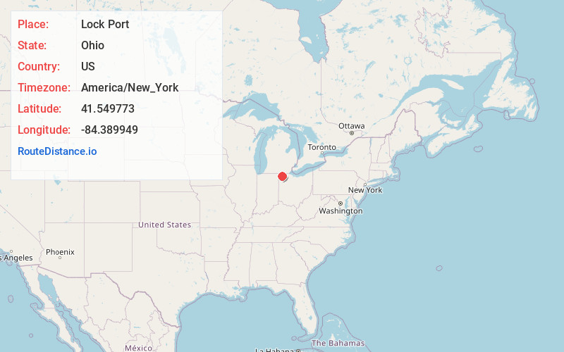
Static map view of Lock Port, Ohio
Browse Places by Distance
Places within specific distances from Lock Port
Short Distances
Long Distances
Click any distance to see all places within that range from Lock Port. Distances shown in miles (1 mile ≈ 1.61 kilometers).