Distance to Lockland, Ohio

Calculating Your Route
Just a moment while we process your request...
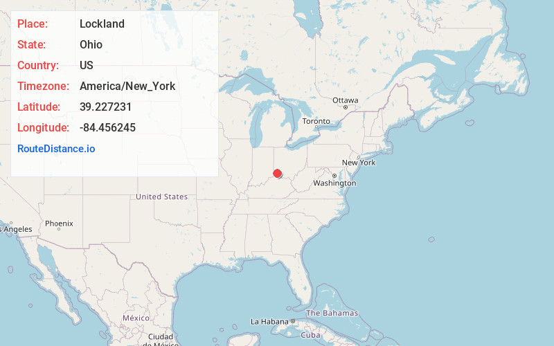
Location Information
-
Full AddressLockland, OH 45215
-
Coordinates39.2272314, -84.4562445
-
LocationLockland , Ohio , US
-
TimezoneAmerica/New_York
-
Current Local Time3:42:30 AM America/New_YorkFriday, June 20, 2025
-
Page Views0
About Lockland
Lockland is a village in Hamilton County, Ohio, United States. The population was 3,514 at the 2020 United States census. Lockland is located in southwest Ohio, north of Cincinnati.
Nearby Places
Found 10 places within 50 miles

Wyoming
0.6 mi
1.0 km
Wyoming, OH
Get directions

Reading
0.8 mi
1.3 km
Reading, OH
Get directions
Woodlawn
1.9 mi
3.1 km
Woodlawn, OH
Get directions
Amberley
2.2 mi
3.5 km
Amberley, OH
Get directions
Golf Manor
2.8 mi
4.5 km
Golf Manor, OH 45237
Get directions

Finneytown
3.3 mi
5.3 km
Finneytown, OH
Get directions

Deer Park
3.6 mi
5.8 km
Deer Park, OH 45236
Get directions

Sharonville
3.6 mi
5.8 km
Sharonville, OH
Get directions

Silverton
3.8 mi
6.1 km
Silverton, OH
Get directions

Blue Ash
4.2 mi
6.8 km
Blue Ash, OH
Get directions
Location Links
Local Weather
Weather Information
Coming soon!
Location Map
Static map view of Lockland, Ohio
Browse Places by Distance
Places within specific distances from Lockland
Short Distances
Long Distances
Click any distance to see all places within that range from Lockland. Distances shown in miles (1 mile ≈ 1.61 kilometers).