Distance to Lodgepole Creek, South Dakota

Calculating Your Route
Just a moment while we process your request...
Location Information
-
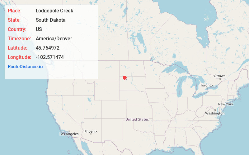
Full AddressLodgepole Creek, Lodgepole Township, SD 57640
-
Coordinates45.7649721, -102.571474
-
LocationLodgepole Township , South Dakota , US
-
TimezoneAmerica/Denver
-
Current Local Time2:28:58 PM America/DenverWednesday, June 18, 2025
-
Page Views0
Nearby Places
Found 10 places within 50 miles

Haynes
15.2 mi
24.5 km
Haynes, ND 58639
Get directions

Hettinger
16.6 mi
26.7 km
Hettinger, ND 58639
Get directions
Bison
17.5 mi
28.2 km
Bison, SD 57620
Get directions
Prairie City
19.9 mi
32.0 km
Prairie City, SD 57649
Get directions
Strool
21.5 mi
34.6 km
Strool, SD 57649
Get directions
Bucyrus
23.1 mi
37.2 km
Bucyrus, ND 58639
Get directions

Lemmon
23.3 mi
37.5 km
Lemmon, SD 57638
Get directions
Ralph
23.9 mi
38.5 km
Ralph, SD 57649
Get directions
Date
28.0 mi
45.1 km
Date, SD 57649
Get directions
Perkins County
28.6 mi
46.0 km
Perkins County, SD
Get directions
Location Links
Local Weather
Weather Information
Coming soon!
Location Map
Static map view of Lodgepole Creek, South Dakota
Browse Places by Distance
Places within specific distances from Lodgepole Creek
Short Distances
Long Distances
Click any distance to see all places within that range from Lodgepole Creek. Distances shown in miles (1 mile ≈ 1.61 kilometers).