Distance to Lodgepole, Nebraska

Calculating Your Route
Just a moment while we process your request...
Location Information
-
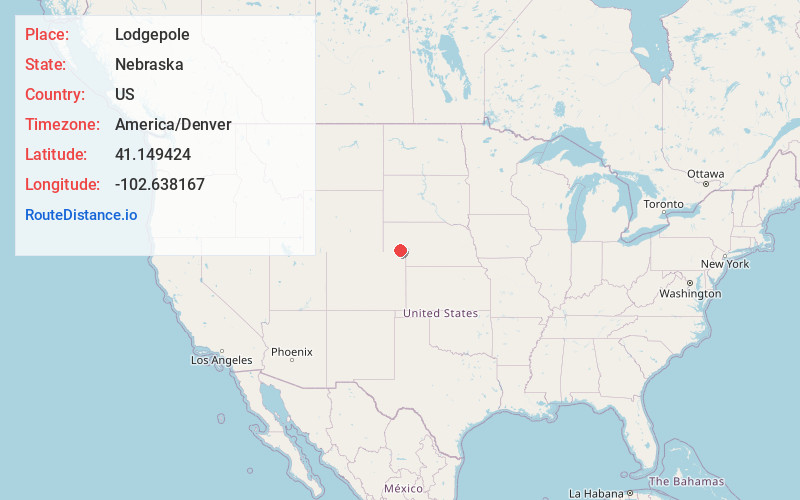
Full AddressLodgepole, NE 69149
-
Coordinates41.1494243, -102.6381667
-
LocationLodgepole , Nebraska , US
-
TimezoneAmerica/Denver
-
Current Local Time7:22:03 PM America/DenverFriday, May 30, 2025
-
Page Views0
About Lodgepole
Lodgepole is a village in Cheyenne County, Nebraska, United States. The population was 318 at the 2010 census.


Nearby Places
Found 10 places within 50 miles

Chappell
9.7 mi
15.6 km
Chappell, NE 69129
Get directions

Sidney
17.7 mi
28.5 km
Sidney, NE 69162
Get directions

Ovid
18.4 mi
29.6 km
Ovid, CO 80744
Get directions

Gurley
21.0 mi
33.8 km
Gurley, NE
Get directions

Julesburg
22.4 mi
36.0 km
Julesburg, CO 80737
Get directions

Oshkosh
23.3 mi
37.5 km
Oshkosh, NE 69154
Get directions

Dalton
24.9 mi
40.1 km
Dalton, NE 69131
Get directions

Big Springs
30.0 mi
48.3 km
Big Springs, NE 69122
Get directions

Fleming
34.1 mi
54.9 km
Fleming, CO 80728
Get directions
Iliff
35.0 mi
56.3 km
Iliff, CO 80736
Get directions
Location Links
Local Weather
Weather Information
Coming soon!
Location Map
Static map view of Lodgepole, Nebraska
Browse Places by Distance
Places within specific distances from Lodgepole
Short Distances
Long Distances
Click any distance to see all places within that range from Lodgepole. Distances shown in miles (1 mile ≈ 1.61 kilometers).