Distance to Logansville, Ohio

Calculating Your Route
Just a moment while we process your request...
Location Information
-
Full AddressLogansville, Pleasant Township, OH 43318
-
Coordinates40.345607, -83.9304936
-
LocationPleasant Township , Ohio , US
-
TimezoneAmerica/New_York
-
Current Local Time7:15:12 AM America/New_YorkThursday, June 19, 2025
-
Page Views0
About Logansville
Logansville is an unincorporated community in central Pleasant Township, Logan County, Ohio, United States. It lies along State Route 47 at its intersection with County Road 24. The Great Miami River flows southward along the western edge of Logansville.
Nearby Places
Found 10 places within 50 miles

De Graff
2.4 mi
3.9 km
De Graff, OH 43318
Get directions

Quincy
3.8 mi
6.1 km
Quincy, OH 43343
Get directions

McMorran
5.3 mi
8.5 km
McMorran, Harrison Township, OH 43311
Get directions
Lewistown
5.8 mi
9.3 km
Lewistown, OH 43333
Get directions

Jackson Center
8.7 mi
14.0 km
Jackson Center, OH 45334
Get directions

Port Jefferson
8.7 mi
14.0 km
Port Jefferson, OH
Get directions

Rosewood
8.9 mi
14.3 km
Rosewood, OH
Get directions

Russells Point
8.9 mi
14.3 km
Russells Point, OH
Get directions

Bellefontaine
9.1 mi
14.6 km
Bellefontaine, OH 43311
Get directions
Tawawa
9.1 mi
14.6 km
Tawawa, Green Township, OH 45365
Get directions
Location Links
Local Weather
Weather Information
Coming soon!
Location Map
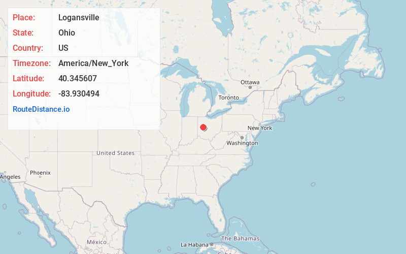
Static map view of Logansville, Ohio
Browse Places by Distance
Places within specific distances from Logansville
Short Distances
Long Distances
Click any distance to see all places within that range from Logansville. Distances shown in miles (1 mile ≈ 1.61 kilometers).