Distance to Loganville, California

Calculating Your Route
Just a moment while we process your request...
Location Information
-
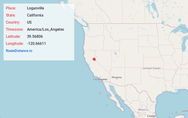
Full AddressLoganville, CA 96125
-
Coordinates39.56806, -120.66611
-
LocationLoganville , California , US
-
TimezoneAmerica/Los_Angeles
-
Current Local Time11:12:29 PM America/Los_AngelesFriday, May 23, 2025
-
Page Views0
About Loganville
Loganville is an unincorporated community in Sierra County, California, United States. Loganville is 2 miles west of Sierra City.
Nearby Places
Found 10 places within 50 miles

Sierra City
1.7 mi
2.7 km
Sierra City, CA 96125
Get directions

Downieville
8.6 mi
13.8 km
Downieville, CA 95936
Get directions

Marsh Mill
8.8 mi
14.2 km
Marsh Mill, CA 95959
Get directions
Graniteville
9.7 mi
15.6 km
Graniteville, CA 95959
Get directions
Alleghany
11.6 mi
18.7 km
Alleghany, CA 95910
Get directions
Goodyears Bar
11.8 mi
19.0 km
Goodyears Bar, CA 95944
Get directions
Whitehawk
12.2 mi
19.6 km
Whitehawk, CA 96106
Get directions
Maredith Mill
12.5 mi
20.1 km
Maredith Mill, CA
Get directions
Gaston
12.7 mi
20.4 km
Gaston, CA 95959
Get directions
Valley Ranch
12.9 mi
20.8 km
Valley Ranch, CA 96106
Get directions
Location Links
Local Weather
Weather Information
Coming soon!
Location Map
Static map view of Loganville, California
Browse Places by Distance
Places within specific distances from Loganville
Short Distances
Long Distances
Click any distance to see all places within that range from Loganville. Distances shown in miles (1 mile ≈ 1.61 kilometers).