Distance to Lokoya, California

Calculating Your Route
Just a moment while we process your request...
Location Information
-
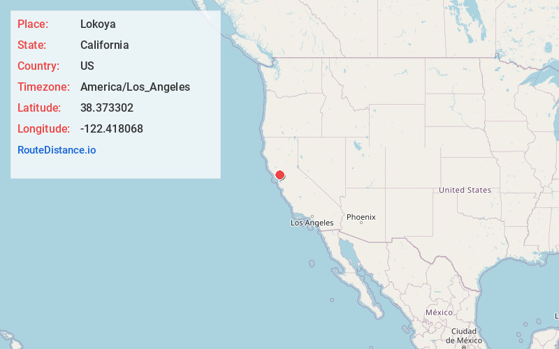
Full AddressLokoya, CA 94558
-
Coordinates38.373302, -122.418068
-
LocationLokoya , California , US
-
TimezoneAmerica/Los_Angeles
-
Current Local Time8:27:12 AM America/Los_AngelesFriday, June 27, 2025
-
Page Views0
About Lokoya
Lokoya is an unincorporated community in Napa County, California, United States. It lies at an elevation of 1,765 feet. Lokoya is located 9 miles northwest of Napa.
Nearby Places
Found 10 places within 50 miles

Yountville
3.7 mi
6.0 km
Yountville, CA
Get directions

Oakville
4.5 mi
7.2 km
Oakville, CA 94558
Get directions

Fetters Hot Springs-Agua Caliente
5.2 mi
8.4 km
Fetters Hot Springs-Agua Caliente, CA 95476
Get directions

Boyes Hot Springs
5.4 mi
8.7 km
Boyes Hot Springs, CA 95476
Get directions

Eldridge
5.5 mi
8.9 km
Eldridge, CA
Get directions

Rutherford
5.9 mi
9.5 km
Rutherford, CA
Get directions

Sonoma
6.0 mi
9.7 km
Sonoma, CA 95476
Get directions
El Verano
6.6 mi
10.6 km
El Verano, CA 95476
Get directions

Kenwood
7.5 mi
12.1 km
Kenwood, CA
Get directions

Napa
8.8 mi
14.2 km
Napa, CA
Get directions
Location Links
Local Weather
Weather Information
Coming soon!
Location Map
Static map view of Lokoya, California
Browse Places by Distance
Places within specific distances from Lokoya
Short Distances
Long Distances
Click any distance to see all places within that range from Lokoya. Distances shown in miles (1 mile ≈ 1.61 kilometers).