Distance to Rutherford, California

Calculating Your Route
Just a moment while we process your request...
Location Information
-
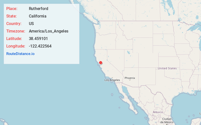
Full AddressRutherford, CA
-
Coordinates38.4591012, -122.4225638
-
LocationRutherford , California , US
-
TimezoneAmerica/Los_Angeles
-
Current Local Time8:59:32 AM America/Los_AngelesThursday, May 22, 2025
-
Page Views0
About Rutherford
Rutherford is a census-designated place in Napa County, California, United States. The population was 115 at the 2020 census.
Rutherford is located in the Rutherford AVA which is located in the larger Napa Valley AVA. The Robert Mondavi Winery is located between Rutherford and neighboring Oakville.


Nearby Places
Found 10 places within 50 miles

St Helena
4.1 mi
6.6 km
St Helena, CA
Get directions

Yountville
5.2 mi
8.4 km
Yountville, CA
Get directions

Deer Park
5.7 mi
9.2 km
Deer Park, CA
Get directions

Kenwood
7.4 mi
11.9 km
Kenwood, CA
Get directions

Angwin
8.2 mi
13.2 km
Angwin, CA 94508
Get directions

Eldridge
9.4 mi
15.1 km
Eldridge, CA
Get directions

Fetters Hot Springs-Agua Caliente
10.1 mi
16.3 km
Fetters Hot Springs-Agua Caliente, CA 95476
Get directions

Boyes Hot Springs
10.5 mi
16.9 km
Boyes Hot Springs, CA 95476
Get directions

Sonoma
11.7 mi
18.8 km
Sonoma, CA 95476
Get directions
El Verano
11.8 mi
19.0 km
El Verano, CA 95476
Get directions
Location Links
Local Weather
Weather Information
Coming soon!
Location Map
Static map view of Rutherford, California
Browse Places by Distance
Places within specific distances from Rutherford
Short Distances
Long Distances
Click any distance to see all places within that range from Rutherford. Distances shown in miles (1 mile ≈ 1.61 kilometers).