Distance to Lombard Hill, Montana

Calculating Your Route
Just a moment while we process your request...
Location Information
-
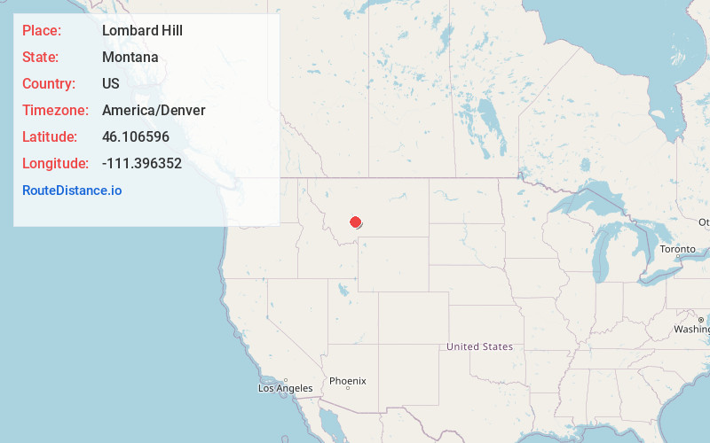
Full AddressLombard Hill, Montana 59643
-
Coordinates46.1065957, -111.3963522
-
LocationMontana , US
-
TimezoneAmerica/Denver
-
Current Local Time5:13:18 PM America/DenverFriday, May 30, 2025
-
Page Views0
Nearby Places
Found 10 places within 50 miles

Toston
5.0 mi
8.0 km
Toston, MT 59643
Get directions

Deer Park
6.2 mi
10.0 km
Deer Park, MT 59714
Get directions
Radersburg
12.8 mi
20.6 km
Radersburg, MT 59643
Get directions
Menard
14.1 mi
22.7 km
Menard, MT 59714
Get directions
Menard Wye
14.1 mi
22.7 km
Menard Wye, MT 59714
Get directions
Gallatin River Ranch
14.4 mi
23.2 km
Gallatin River Ranch, MT
Get directions
Wheatland
14.4 mi
23.2 km
Wheatland, MT 59752
Get directions
Accola
14.8 mi
23.8 km
Accola, MT 59714
Get directions
Carpenter
15.2 mi
24.5 km
Carpenter, MT 59752
Get directions

Townsend
15.8 mi
25.4 km
Townsend, MT 59644
Get directions
Location Links
Local Weather
Weather Information
Coming soon!
Location Map
Static map view of Lombard Hill, Montana
Browse Places by Distance
Places within specific distances from Lombard Hill
Short Distances
Long Distances
Click any distance to see all places within that range from Lombard Hill. Distances shown in miles (1 mile ≈ 1.61 kilometers).