Distance to Toston, Montana

Calculating Your Route
Just a moment while we process your request...
Location Information
-
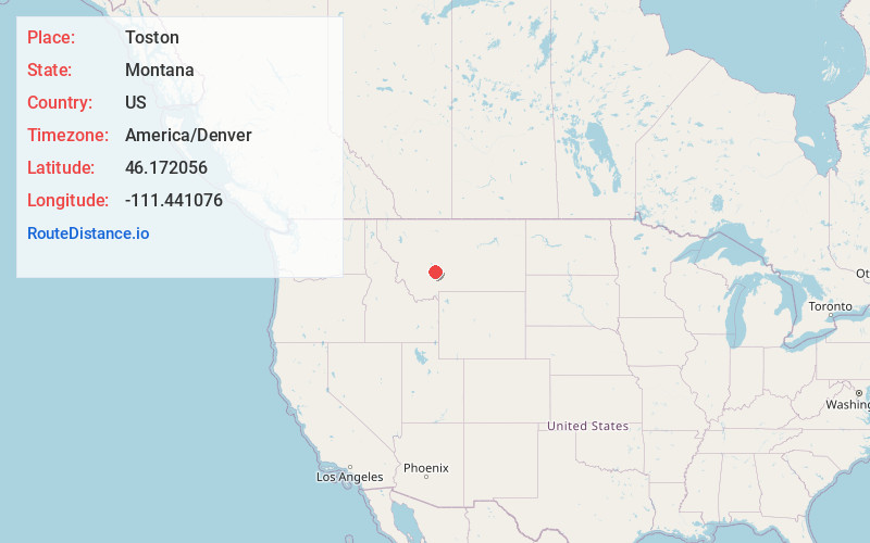
Full AddressToston, MT 59643
-
Coordinates46.1720562, -111.441076
-
LocationToston , Montana , US
-
TimezoneAmerica/Denver
-
Current Local Time9:19:11 PM America/DenverWednesday, June 18, 2025
-
Page Views0
About Toston
Toston is a census-designated place in Broadwater County, Montana, United States. The population was 108 at the 2010 census.
Thomas Toston settled in the area in 1871, establishing a ferry across the Missouri River. The post office opened in 1882.

Nearby Places
Found 10 places within 50 miles

Townsend
10.9 mi
17.5 km
Townsend, MT 59644
Get directions

The Silos
16.5 mi
26.6 km
The Silos, MT 59644
Get directions
Wheatland
17.2 mi
27.7 km
Wheatland, MT 59752
Get directions

Three Forks
20.0 mi
32.2 km
Three Forks, MT 59752
Get directions

Manhattan
22.3 mi
35.9 km
Manhattan, MT 59741
Get directions
Willow Creek
25.9 mi
41.7 km
Willow Creek, MT
Get directions
Spokane Creek
29.6 mi
47.6 km
Spokane Creek, MT
Get directions
Churchhill
29.8 mi
48.0 km
Churchhill, MT 59741
Get directions

Belgrade
30.1 mi
48.4 km
Belgrade, MT
Get directions
Springhill
30.1 mi
48.4 km
Springhill, MT 59714
Get directions
Location Links
Local Weather
Weather Information
Coming soon!
Location Map
Static map view of Toston, Montana
Browse Places by Distance
Places within specific distances from Toston
Short Distances
Long Distances
Click any distance to see all places within that range from Toston. Distances shown in miles (1 mile ≈ 1.61 kilometers).