Distance to The Silos, Montana

Calculating Your Route
Just a moment while we process your request...
Location Information
-
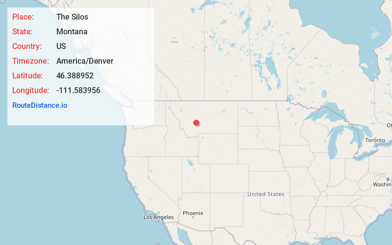
Full AddressThe Silos, MT 59644
-
Coordinates46.3889516, -111.5839563
-
LocationThe Silos , Montana , US
-
TimezoneAmerica/Denver
-
Current Local Time9:23:07 PM America/DenverWednesday, June 18, 2025
-
Page Views0
About The Silos
The Silos is a census-designated place in Broadwater County, Montana, United States. The population was 506 at the 2010 census.
Nearby Places
Found 10 places within 50 miles

Townsend
5.7 mi
9.2 km
Townsend, MT 59644
Get directions

Spokane Creek
13.3 mi
21.4 km
Spokane Creek, MT
Get directions

Montana City
19.5 mi
31.4 km
Montana City, MT
Get directions

Clancy
19.9 mi
32.0 km
Clancy, MT 59634
Get directions

East Helena
21.0 mi
33.8 km
East Helena, MT
Get directions

Helena
25.7 mi
41.4 km
Helena, MT
Get directions

Boulder
27.7 mi
44.6 km
Boulder, MT 59632
Get directions
Helena West Side
28.5 mi
45.9 km
Helena West Side, MT
Get directions

Helena Valley West Central
29.3 mi
47.2 km
Helena Valley West Central, MT 59602
Get directions
Wheatland
30.8 mi
49.6 km
Wheatland, MT 59752
Get directions
Location Links
Local Weather
Weather Information
Coming soon!
Location Map
Static map view of The Silos, Montana
Browse Places by Distance
Places within specific distances from The Silos
Short Distances
Long Distances
Click any distance to see all places within that range from The Silos. Distances shown in miles (1 mile ≈ 1.61 kilometers).