Distance to Boulder, Montana

Calculating Your Route
Just a moment while we process your request...
Location Information
-
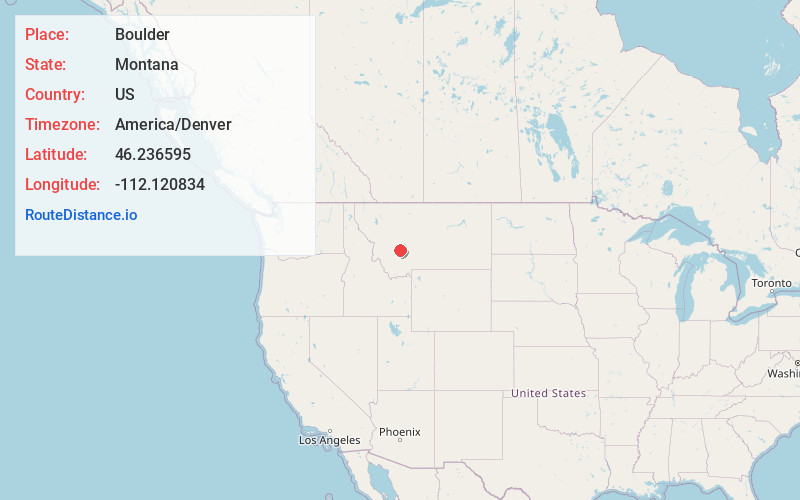
Full AddressBoulder, MT 59632
-
Coordinates46.2365947, -112.1208336
-
LocationBoulder , Montana , US
-
TimezoneAmerica/Denver
-
Current Local Time9:20:48 PM America/DenverThursday, June 19, 2025
-
Page Views0
About Boulder
Boulder is a town in and the county seat of Jefferson County, Montana, United States. It is on the north bank of the Boulder River between Butte and Helena, slightly east of the Continental Divide, at the intersection of Interstate 15 and Montana Highway 69. The population was 1,201 at the 2020 census.


Nearby Places
Found 10 places within 50 miles

Clancy
17.0 mi
27.4 km
Clancy, MT 59634
Get directions

Montana City
22.7 mi
36.5 km
Montana City, MT
Get directions

Helena
24.7 mi
39.8 km
Helena, MT
Get directions

Helena West Side
25.0 mi
40.2 km
Helena West Side, MT
Get directions

Butte
25.5 mi
41.0 km
Butte, MT
Get directions

East Helena
26.3 mi
42.3 km
East Helena, MT
Get directions

Townsend
29.2 mi
47.0 km
Townsend, MT 59644
Get directions

Helena Valley West Central
29.7 mi
47.8 km
Helena Valley West Central, MT 59602
Get directions

Deer Lodge
31.5 mi
50.7 km
Deer Lodge, MT 59722
Get directions

Three Forks
36.2 mi
58.3 km
Three Forks, MT 59752
Get directions
Location Links
Local Weather
Weather Information
Coming soon!
Location Map
Static map view of Boulder, Montana
Browse Places by Distance
Places within specific distances from Boulder
Short Distances
Long Distances
Click any distance to see all places within that range from Boulder. Distances shown in miles (1 mile ≈ 1.61 kilometers).