Distance to Lomontville, New York

Calculating Your Route
Just a moment while we process your request...
Location Information
-
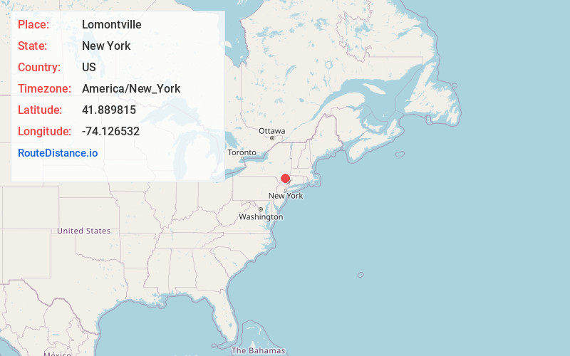
Full AddressLomontville, Marbletown, NY 12401
-
Coordinates41.8898149, -74.1265321
-
LocationMarbletown , New York , US
-
TimezoneAmerica/New_York
-
Current Local Time9:22:22 AM America/New_YorkThursday, June 19, 2025
-
Page Views0
Nearby Places
Found 10 places within 50 miles

Lapla
2.1 mi
3.4 km
Lapla, Marbletown, NY 12401
Get directions

Stone Ridge
3.6 mi
5.8 km
Stone Ridge, NY
Get directions
Whiteport
3.7 mi
6.0 km
Whiteport, Rosendale, NY 12401
Get directions

Rosendale
3.9 mi
6.3 km
Rosendale, NY
Get directions
Bruceville
4.0 mi
6.4 km
Bruceville, High Falls, NY 12440
Get directions

High Falls
4.4 mi
7.1 km
High Falls, NY 12440
Get directions

Creeklocks
4.4 mi
7.1 km
Creeklocks, Rosendale, NY 12472
Get directions
Tillson
5.2 mi
8.4 km
Tillson, NY
Get directions

Kingston
7.1 mi
11.4 km
Kingston, NY 12401
Get directions

Shokan
7.3 mi
11.7 km
Shokan, NY 12481
Get directions
Location Links
Local Weather
Weather Information
Coming soon!
Location Map
Static map view of Lomontville, New York
Browse Places by Distance
Places within specific distances from Lomontville
Short Distances
Long Distances
Click any distance to see all places within that range from Lomontville. Distances shown in miles (1 mile ≈ 1.61 kilometers).