Distance to Lone Butte Ranch, Arizona

Calculating Your Route
Just a moment while we process your request...
Location Information
-
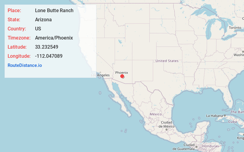
Full AddressLone Butte Ranch, AZ 85226
-
Coordinates33.2325488, -112.0470891
-
LocationArizona , US
-
TimezoneAmerica/Phoenix
-
Current Local Time7:04:03 AM America/PhoenixThursday, June 19, 2025
-
Page Views0
Nearby Places
Found 10 places within 50 miles

Maricopa Wells
5.3 mi
8.5 km
Maricopa Wells, AZ 85339
Get directions
Santa Cruz
7.3 mi
11.7 km
Santa Cruz, AZ 85339
Get directions

Komatke
7.5 mi
12.1 km
Komatke, AZ 85339
Get directions
Corona Village
9.2 mi
14.8 km
Corona Village, Chandler, AZ 85226
Get directions
Pepperwood
9.8 mi
15.8 km
Pepperwood, Chandler, AZ 85226
Get directions

Sun Lakes
9.9 mi
15.9 km
Sun Lakes, AZ 85248
Get directions
Goodyear Village
10.2 mi
16.4 km
Goodyear Village, AZ
Get directions

Guadalupe
10.3 mi
16.6 km
Guadalupe, AZ
Get directions
Ocotillo
10.9 mi
17.5 km
Ocotillo, Chandler, AZ 85248
Get directions
Co-Op Village
11.7 mi
18.8 km
Co-Op Village, Maricopa Colony, AZ 85339
Get directions
Location Links
Local Weather
Weather Information
Coming soon!
Location Map
Static map view of Lone Butte Ranch, Arizona
Browse Places by Distance
Places within specific distances from Lone Butte Ranch
Short Distances
Long Distances
Click any distance to see all places within that range from Lone Butte Ranch. Distances shown in miles (1 mile ≈ 1.61 kilometers).