Distance to Maricopa Wells, Arizona

Calculating Your Route
Just a moment while we process your request...
Location Information
-
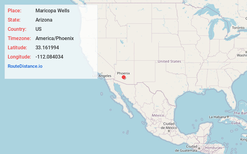
Full AddressMaricopa Wells, AZ 85339
-
Coordinates33.1619936, -112.0840337
-
LocationArizona , US
-
TimezoneAmerica/Phoenix
-
Current Local Time6:19:18 AM America/PhoenixWednesday, June 18, 2025
-
Page Views0
About Maricopa Wells
Maricopa Wells is a former place situated in Pinal County, Arizona. It has an estimated elevation of 1,093 feet above sea level. Historically, it was an oasis around a series of watering holes in the Sierra Estrella, eight miles north of present-day Maricopa, Arizona, and about a mile west of Pima Butte.
Nearby Places
Found 10 places within 50 miles

Santa Cruz
6.9 mi
11.1 km
Santa Cruz, AZ 85339
Get directions

Maricopa
7.5 mi
12.1 km
Maricopa, AZ
Get directions
Enid
9.2 mi
14.8 km
Enid, AZ 85139
Get directions

Ak-Chin Indian Community
9.2 mi
14.8 km
Ak-Chin Indian Community, AZ 85139
Get directions

Maricopa (Ak Chin) Indian Reservation
9.4 mi
15.1 km
Maricopa (Ak Chin) Indian Reservation, Maricopa-Stanfield, AZ
Get directions

Komatke
9.8 mi
15.8 km
Komatke, AZ 85339
Get directions

Casa Blanca
11.7 mi
18.8 km
Casa Blanca, AZ
Get directions
Goodyear Village
12.3 mi
19.8 km
Goodyear Village, AZ
Get directions

Sun Lakes
12.6 mi
20.3 km
Sun Lakes, AZ 85248
Get directions
Co-Op Village
14.0 mi
22.5 km
Co-Op Village, Maricopa Colony, AZ 85339
Get directions
Location Links
Local Weather
Weather Information
Coming soon!
Location Map
Static map view of Maricopa Wells, Arizona
Browse Places by Distance
Places within specific distances from Maricopa Wells
Short Distances
Long Distances
Click any distance to see all places within that range from Maricopa Wells. Distances shown in miles (1 mile ≈ 1.61 kilometers).