Distance to Lone Elm, Missouri

Calculating Your Route
Just a moment while we process your request...
Location Information
-
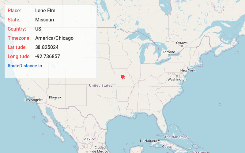
Full AddressLone Elm, MO 65237
-
Coordinates38.8250242, -92.7368569
-
LocationLone Elm , Missouri , US
-
TimezoneAmerica/Chicago
-
Current Local Time9:21:55 PM America/ChicagoWednesday, June 4, 2025
-
Page Views0
About Lone Elm
Lone Elm is an unincorporated community in Cooper County, in the U.S. state of Missouri. The community is located at the intersection of Missouri routes KK and B approximately eleven miles south of Boonville.
Nearby Places
Found 10 places within 50 miles

Bunceton
4.2 mi
6.8 km
Bunceton, MO 65237
Get directions

Pisgah
5.8 mi
9.3 km
Pisgah, MO 65068
Get directions
Bellair
5.8 mi
9.3 km
Bellair, MO 65276
Get directions
Billingsville
6.2 mi
10.0 km
Billingsville, MO 65233
Get directions
Windsor Place
7.8 mi
12.6 km
Windsor Place, MO 65233
Get directions
Prairie Home
7.9 mi
12.7 km
Prairie Home, MO 65068
Get directions

Pilot Grove
10.0 mi
16.1 km
Pilot Grove, MO 65276
Get directions

Boonville
10.3 mi
16.6 km
Boonville, MO 65233
Get directions
New Lebanon
11.7 mi
18.8 km
New Lebanon, Lebanon Township, MO 65237
Get directions

Tipton
11.9 mi
19.2 km
Tipton, MO 65081
Get directions
Location Links
Local Weather
Weather Information
Coming soon!
Location Map
Static map view of Lone Elm, Missouri
Browse Places by Distance
Places within specific distances from Lone Elm
Short Distances
Long Distances
Click any distance to see all places within that range from Lone Elm. Distances shown in miles (1 mile ≈ 1.61 kilometers).