Distance to Pisgah, Missouri

Calculating Your Route
Just a moment while we process your request...
Location Information
-
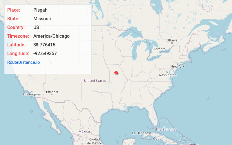
Full AddressPisgah, MO 65068
-
Coordinates38.7764149, -92.6493573
-
LocationPisgah , Missouri , US
-
TimezoneAmerica/Chicago
-
Current Local Time10:24:10 PM America/ChicagoWednesday, June 18, 2025
-
Page Views0
About Pisgah
Pisgah is an unincorporated community in Cooper County, Missouri, United States. The community is located about two miles west of Pisgah Creek on Missouri Route O and eleven miles north-northwest of California. Bunceton is about eight miles to the west on Missouri Route J.
Nearby Places
Found 10 places within 50 miles

Prairie Home
4.1 mi
6.6 km
Prairie Home, MO 65068
Get directions

Bunceton
8.1 mi
13.0 km
Bunceton, MO 65237
Get directions
Clarksburg
8.1 mi
13.0 km
Clarksburg, MO 65025
Get directions

Jamestown
9.1 mi
14.6 km
Jamestown, MO 65046
Get directions

Tipton
10.9 mi
17.5 km
Tipton, MO 65081
Get directions
Windsor Place
11.1 mi
17.9 km
Windsor Place, MO 65233
Get directions

California
11.2 mi
18.0 km
California, MO 65018
Get directions
Wooldridge
11.2 mi
18.0 km
Wooldridge, MO 65287
Get directions
Lupus
11.6 mi
18.7 km
Lupus, MO 65046
Get directions

McBaine
13.3 mi
21.4 km
McBaine, MO 65203
Get directions
Location Links
Local Weather
Weather Information
Coming soon!
Location Map
Static map view of Pisgah, Missouri
Browse Places by Distance
Places within specific distances from Pisgah
Short Distances
Long Distances
Click any distance to see all places within that range from Pisgah. Distances shown in miles (1 mile ≈ 1.61 kilometers).