Distance to Long Bottom, Kentucky

Calculating Your Route
Just a moment while we process your request...
Location Information
-
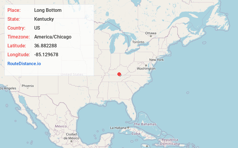
Full AddressLong Bottom, KY 42629
-
Coordinates36.8822883, -85.1296782
-
LocationLong Bottom , Kentucky , US
-
TimezoneAmerica/Chicago
-
Current Local Time8:33:23 AM America/ChicagoMonday, June 16, 2025
-
Page Views0
Nearby Places
Found 10 places within 50 miles

Helm
1.6 mi
2.6 km
Helm, KY 42629
Get directions
Old Olga
3.7 mi
6.0 km
Old Olga, KY 42629
Get directions
Sewellton
4.0 mi
6.4 km
Sewellton, KY 42629
Get directions
Olga
5.0 mi
8.0 km
Olga, KY 42629
Get directions
Desda
5.0 mi
8.0 km
Desda, KY 42602
Get directions
Rose Crossroads
6.5 mi
10.5 km
Rose Crossroads, KY 42629
Get directions

Seventy Six Falls
7.1 mi
11.4 km
Seventy Six Falls, Kentucky 42602
Get directions

Jamestown
8.0 mi
12.9 km
Jamestown, KY
Get directions
Esto
8.5 mi
13.7 km
Esto, KY 42642
Get directions
Karlus
9.6 mi
15.4 km
Karlus, KY 42629
Get directions
Location Links
Local Weather
Weather Information
Coming soon!
Location Map
Static map view of Long Bottom, Kentucky
Browse Places by Distance
Places within specific distances from Long Bottom
Short Distances
Long Distances
Click any distance to see all places within that range from Long Bottom. Distances shown in miles (1 mile ≈ 1.61 kilometers).