Distance to Long Prairie, Minnesota

Calculating Your Route
Just a moment while we process your request...
Location Information
-
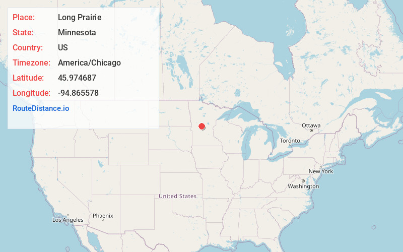
Full AddressLong Prairie, MN 56347
-
Coordinates45.9746867, -94.8655775
-
LocationLong Prairie , Minnesota , US
-
TimezoneAmerica/Chicago
-
Current Local Time3:29:13 AM America/ChicagoWednesday, June 4, 2025
-
Website
-
Page Views0
About Long Prairie
Long Prairie is a town in Todd County, Minnesota, United States. The population was 3,458 at the 2010 census. By the 2020 Decennial Census the population had grown to 3,661. It is the county seat. and the oldest town in the county.


Nearby Places
Found 10 places within 50 miles

Sauk Centre
16.9 mi
27.2 km
Sauk Centre, MN 56378
Get directions

Little Falls
23.8 mi
38.3 km
Little Falls, MN 56345
Get directions

Alexandria
25.4 mi
40.9 km
Alexandria, MN 56308
Get directions

Wadena
34.8 mi
56.0 km
Wadena, MN 56482
Get directions

Baxter
38.5 mi
62.0 km
Baxter, MN
Get directions

St Joseph
38.7 mi
62.3 km
St Joseph, MN
Get directions

Sartell
40.0 mi
64.4 km
Sartell, MN
Get directions

Brainerd
41.1 mi
66.1 km
Brainerd, MN 56401
Get directions

Cold Spring
41.7 mi
67.1 km
Cold Spring, MN 56320
Get directions

Waite Park
42.3 mi
68.1 km
Waite Park, MN
Get directions
Location Links
Local Weather
Weather Information
Coming soon!
Location Map
Static map view of Long Prairie, Minnesota
Browse Places by Distance
Places within specific distances from Long Prairie
Short Distances
Long Distances
Click any distance to see all places within that range from Long Prairie. Distances shown in miles (1 mile ≈ 1.61 kilometers).