Distance to Lonsdale, Arkansas

Calculating Your Route
Just a moment while we process your request...
Location Information
-
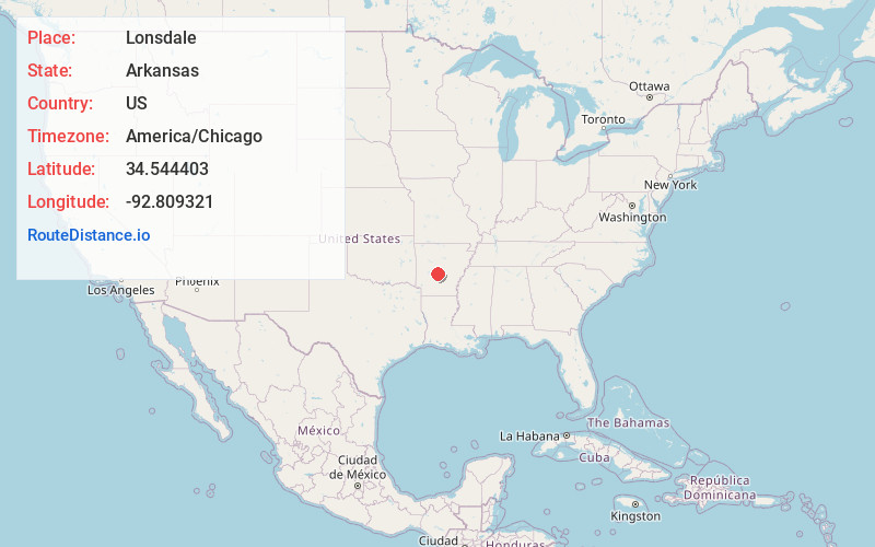
Full AddressLonsdale, AR 72087
-
Coordinates34.5444028, -92.809321
-
LocationLonsdale , Arkansas , US
-
TimezoneAmerica/Chicago
-
Current Local Time10:56:32 PM America/ChicagoFriday, May 30, 2025
-
Page Views0
About Lonsdale
Lonsdale is a town in Garland County, Arkansas, United States. It is part of the Hot Springs Metropolitan Statistical Area. The population was 103 at the 2020 census.

Nearby Places
Found 10 places within 50 miles

Magnet Cove
6.8 mi
10.9 km
Magnet Cove, AR 72104
Get directions

Fountain Lake
7.9 mi
12.7 km
Fountain Lake, AR
Get directions

Haskell
9.7 mi
15.6 km
Haskell, AR 72015
Get directions
Rockport
10.4 mi
16.7 km
Rockport, AR 72104
Get directions
Traskwood
11.0 mi
17.7 km
Traskwood, AR 72167
Get directions

Malvern
12.6 mi
20.3 km
Malvern, AR 72104
Get directions

Benton
12.9 mi
20.8 km
Benton, AR
Get directions

Hot Springs
14.2 mi
22.9 km
Hot Springs, AR
Get directions
Tull
14.8 mi
23.8 km
Tull, AR 72015
Get directions

Bauxite
16.4 mi
26.4 km
Bauxite, AR
Get directions
Location Links
Local Weather
Weather Information
Coming soon!
Location Map
Static map view of Lonsdale, Arkansas
Browse Places by Distance
Places within specific distances from Lonsdale
Short Distances
Long Distances
Click any distance to see all places within that range from Lonsdale. Distances shown in miles (1 mile ≈ 1.61 kilometers).