Distance to Lookout Mountain, Tennessee

Calculating Your Route
Just a moment while we process your request...
Location Information
-
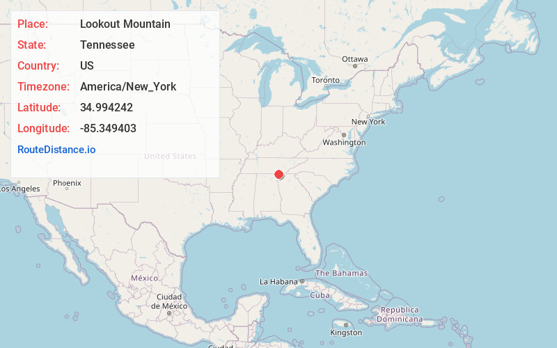
Full AddressLookout Mountain, TN
-
Coordinates34.9942422, -85.3494027
-
LocationLookout Mountain , Tennessee , US
-
TimezoneAmerica/New_York
-
Current Local Time1:04:35 AM America/New_YorkFriday, June 20, 2025
-
Page Views0
About Lookout Mountain
The upscale town of Lookout Mountain is known for its namesake ridge and attractions like the steep Incline Railway and Ruby Falls, a waterfall set in a cavern. The Battles for Chattanooga Museum showcases local Civil War history, and hiking trails wind around Point Park and up to scenic overlooks such as Sunset Rock. A few rustic cafes, homey eateries, and breweries dot the area and the nearby St. Elmo neighborhood.


Nearby Places
Found 10 places within 50 miles

Rossville
3.7 mi
6.0 km
Rossville, GA 30741
Get directions

Chattanooga
4.2 mi
6.8 km
Chattanooga, TN
Get directions

Lakeview
5.2 mi
8.4 km
Lakeview, GA 30741
Get directions

Fort Oglethorpe
6.1 mi
9.8 km
Fort Oglethorpe, GA
Get directions

East Ridge
7.0 mi
11.3 km
East Ridge, TN
Get directions

Red Bank
8.7 mi
14.0 km
Red Bank, TN
Get directions

Signal Mountain
8.9 mi
14.3 km
Signal Mountain, TN 37377
Get directions

Chickamauga
9.1 mi
14.6 km
Chickamauga, GA 30707
Get directions

Trenton
12.4 mi
20.0 km
Trenton, GA 30752
Get directions

Harrison
14.5 mi
23.3 km
Harrison, TN
Get directions
Location Links
Local Weather
Weather Information
Coming soon!
Location Map
Static map view of Lookout Mountain, Tennessee
Browse Places by Distance
Places within specific distances from Lookout Mountain
Short Distances
Long Distances
Click any distance to see all places within that range from Lookout Mountain. Distances shown in miles (1 mile ≈ 1.61 kilometers).