Distance to Loughboro, Missouri

Calculating Your Route
Just a moment while we process your request...
Location Information
-
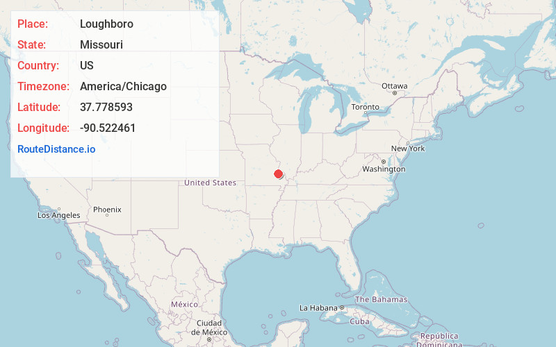
Full AddressLoughboro, MO 63601
-
Coordinates37.7785934, -90.5224608
-
LocationLoughboro , Missouri , US
-
TimezoneAmerica/Chicago
-
Current Local Time1:35:51 AM America/ChicagoSunday, June 22, 2025
-
Page Views0
Nearby Places
Found 10 places within 50 miles

Doe Run
2.8 mi
4.5 km
Doe Run, MO
Get directions
Derby
3.3 mi
5.3 km
Derby, Randolph Township, MO 63601
Get directions

Leadington
4.6 mi
7.4 km
Leadington, MO
Get directions

Park Hills
5.2 mi
8.4 km
Park Hills, MO
Get directions

Farmington
5.5 mi
8.9 km
Farmington, MO 63640
Get directions

Bismarck
5.6 mi
9.0 km
Bismarck, MO 63624
Get directions

Desloge
6.4 mi
10.3 km
Desloge, MO
Get directions
Leadwood
7.2 mi
11.6 km
Leadwood, MO
Get directions
Frankclay
7.7 mi
12.4 km
Frankclay, MO 63601
Get directions

Irondale
9.0 mi
14.5 km
Irondale, MO
Get directions
Location Links
Local Weather
Weather Information
Coming soon!
Location Map
Static map view of Loughboro, Missouri
Browse Places by Distance
Places within specific distances from Loughboro
Short Distances
Long Distances
Click any distance to see all places within that range from Loughboro. Distances shown in miles (1 mile ≈ 1.61 kilometers).