Distance to Love Point, Maryland

Calculating Your Route
Just a moment while we process your request...
Location Information
-
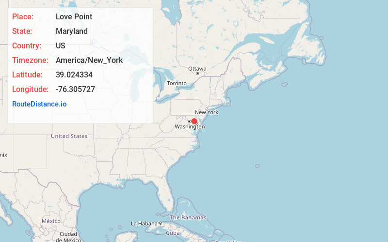
Full AddressLove Point, MD 21666
-
Coordinates39.024334, -76.305727
-
LocationLove Point , Maryland , US
-
TimezoneAmerica/New_York
-
Current Local Time10:54:21 AM America/New_YorkFriday, June 6, 2025
-
Page Views0
About Love Point
Love Point is the name for the northernmost tip of Kent Island, Maryland, United States and as such, marks the southern point of the mouth of the Chester River. It has served as a major ferry terminal, the western terminus of the Queen Anne's Railroad, and the nominal western terminus of Maryland Route 18.
Nearby Places
Found 10 places within 50 miles

Cloverfields
1.9 mi
3.1 km
Cloverfields, Stevensville, MD 21666
Get directions
Castle Marina
3.0 mi
4.8 km
Castle Marina, Chester, MD 21619
Get directions

Stevensville
3.1 mi
5.0 km
Stevensville, MD 21666
Get directions

Chester
3.5 mi
5.6 km
Chester, MD
Get directions
Bay City
4.4 mi
7.1 km
Bay City, Stevensville, MD 21666
Get directions
Bentons Pleasure
4.9 mi
7.9 km
Bentons Pleasure, Chester, MD 21619
Get directions
Matapeake
5.0 mi
8.0 km
Matapeake, Stevensville, MD 21666
Get directions
Overton
5.2 mi
8.4 km
Overton, MD 21661
Get directions

Kent Narrows
5.3 mi
8.5 km
Kent Narrows, MD
Get directions
Dominion
5.5 mi
8.9 km
Dominion, MD 21619
Get directions
Location Links
Local Weather
Weather Information
Coming soon!
Location Map
Static map view of Love Point, Maryland
Browse Places by Distance
Places within specific distances from Love Point
Short Distances
Long Distances
Click any distance to see all places within that range from Love Point. Distances shown in miles (1 mile ≈ 1.61 kilometers).