Distance to Loveland, Oklahoma

Calculating Your Route
Just a moment while we process your request...
Location Information
-
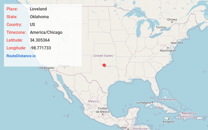
Full AddressLoveland, OK 73553
-
Coordinates34.3053644, -98.7717332
-
LocationLoveland , Oklahoma , US
-
TimezoneAmerica/Chicago
-
Current Local Time11:52:20 PM America/ChicagoSunday, June 29, 2025
-
Page Views0
About Loveland
Loveland is a town in Tillman County, Oklahoma, United States. It is located about 38 miles southwest of Lawton, Oklahoma. The population was 13 at the 2020 Census. Loveland once had a post office that has since closed.

Nearby Places
Found 10 places within 50 miles

Hollister
6.2 mi
10.0 km
Hollister, OK 73551
Get directions

Grandfield
7.3 mi
11.7 km
Grandfield, OK 73546
Get directions

Chattanooga
10.4 mi
16.7 km
Chattanooga, OK 73528
Get directions

Devol
12.8 mi
20.6 km
Devol, OK 73531
Get directions

Faxon
15.2 mi
24.5 km
Faxon, OK 73540
Get directions

Frederick
15.3 mi
24.6 km
Frederick, OK 73542
Get directions

Davidson
17.9 mi
28.8 km
Davidson, OK 73530
Get directions

Burkburnett
18.4 mi
29.6 km
Burkburnett, TX 76354
Get directions

Manitou
18.5 mi
29.8 km
Manitou, OK 73555
Get directions

Randlett
19.7 mi
31.7 km
Randlett, OK 73562
Get directions
Location Links
Local Weather
Weather Information
Coming soon!
Location Map
Static map view of Loveland, Oklahoma
Browse Places by Distance
Places within specific distances from Loveland
Short Distances
Long Distances
Click any distance to see all places within that range from Loveland. Distances shown in miles (1 mile ≈ 1.61 kilometers).