Distance to Manitou, Oklahoma

Calculating Your Route
Just a moment while we process your request...
Location Information
-
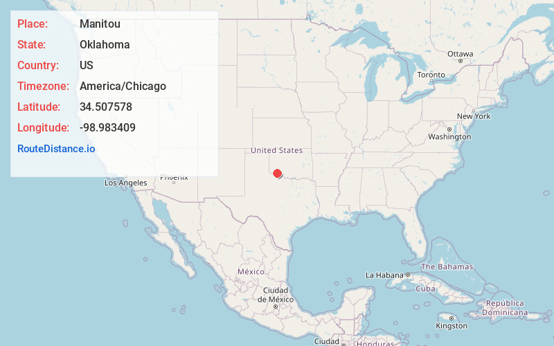
Full AddressManitou, OK 73555
-
Coordinates34.5075777, -98.9834088
-
LocationManitou , Oklahoma , US
-
TimezoneAmerica/Chicago
-
Current Local Time7:00:29 AM America/ChicagoMonday, June 2, 2025
-
Page Views0
About Manitou
Manitou is a town in Tillman County, Oklahoma, United States. It is located about 40 miles west-southwest of Lawton. The population was 171 as of the 2020 United States census. The site includes the former town of Siboney, absorbed on January 28, 1907.


Nearby Places
Found 10 places within 50 miles

Frederick
8.2 mi
13.2 km
Frederick, OK 73542
Get directions

Tipton
9.0 mi
14.5 km
Tipton, OK
Get directions

Snyder
10.6 mi
17.1 km
Snyder, OK 73566
Get directions

Mountain Park
13.2 mi
21.2 km
Mountain Park, OK 73559
Get directions

Indiahoma
15.3 mi
24.6 km
Indiahoma, OK 73552
Get directions

Davidson
19.2 mi
30.9 km
Davidson, OK 73530
Get directions

Chattanooga
19.5 mi
31.4 km
Chattanooga, OK 73528
Get directions

Cache
21.9 mi
35.2 km
Cache, OK 73527
Get directions

Altus
21.9 mi
35.2 km
Altus, OK
Get directions

Roosevelt
23.7 mi
38.1 km
Roosevelt, OK 73564
Get directions
Location Links
Local Weather
Weather Information
Coming soon!
Location Map
Static map view of Manitou, Oklahoma
Browse Places by Distance
Places within specific distances from Manitou
Short Distances
Long Distances
Click any distance to see all places within that range from Manitou. Distances shown in miles (1 mile ≈ 1.61 kilometers).