Distance to Tipton, Oklahoma

Calculating Your Route
Just a moment while we process your request...
Location Information
-
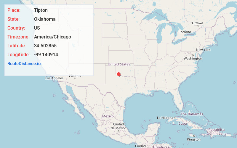
Full AddressTipton, OK
-
Coordinates34.5028548, -99.1409144
-
LocationTipton , Oklahoma , US
-
TimezoneAmerica/Chicago
-
Current Local Time11:29:06 PM America/ChicagoWednesday, June 18, 2025
-
Page Views0
About Tipton
Tipton is a town in the western part of Tillman County, Oklahoma, United States. The population was 847 at the United States 2010 census, a 31.6 percent decline from 1,238 in 2000.


Nearby Places
Found 10 places within 50 miles

Frederick
10.4 mi
16.7 km
Frederick, OK 73542
Get directions

Altus
14.4 mi
23.2 km
Altus, OK
Get directions

Snyder
15.2 mi
24.5 km
Snyder, OK 73566
Get directions

Vernon
25.1 mi
40.4 km
Vernon, TX 76384
Get directions

Cache
30.4 mi
48.9 km
Cache, OK 73527
Get directions

Grandfield
32.2 mi
51.8 km
Grandfield, OK 73546
Get directions

Mangum
32.8 mi
52.8 km
Mangum, OK 73554
Get directions

Granite
34.5 mi
55.5 km
Granite, OK 73547
Get directions

Electra
35.1 mi
56.5 km
Electra, TX 76360
Get directions

Hobart
36.5 mi
58.7 km
Hobart, OK 73651
Get directions
Location Links
Local Weather
Weather Information
Coming soon!
Location Map
Static map view of Tipton, Oklahoma
Browse Places by Distance
Places within specific distances from Tipton
Short Distances
Long Distances
Click any distance to see all places within that range from Tipton. Distances shown in miles (1 mile ≈ 1.61 kilometers).