Distance to Lovettsville, Virginia

Calculating Your Route
Just a moment while we process your request...
Location Information
-
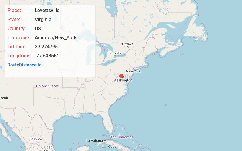
Full AddressLovettsville, VA 20180
-
Coordinates39.2747949, -77.6385513
-
LocationLovettsville , Virginia , US
-
TimezoneAmerica/New_York
-
Current Local Time5:21:59 PM America/New_YorkWednesday, July 2, 2025
-
Website
-
Page Views0
About Lovettsville
Lovettsville is a town in Loudoun County, located near the very northern tip of the Commonwealth of Virginia, United States. Settled primarily by German immigrants, the town was originally established in 1836.
The population was 1,613 at the 2010 census and an estimated 2,198 in 2019.


Nearby Places
Found 10 places within 50 miles

Brunswick
2.8 mi
4.5 km
Brunswick, MD
Get directions

Jefferson
8.3 mi
13.4 km
Jefferson, MD 21755
Get directions

Shannondale
10.0 mi
16.1 km
Shannondale, WV
Get directions

Purcellville
10.4 mi
16.7 km
Purcellville, VA 20132
Get directions

Leesburg
11.7 mi
18.8 km
Leesburg, VA
Get directions

Charles Town
11.9 mi
19.2 km
Charles Town, WV 25414
Get directions

Ranson
12.0 mi
19.3 km
Ranson, WV
Get directions

Braddock Heights
12.3 mi
19.8 km
Braddock Heights, MD
Get directions

Middletown
12.7 mi
20.4 km
Middletown, MD 21769
Get directions

Woodburn
12.7 mi
20.4 km
Woodburn, VA 20175
Get directions
Location Links
Local Weather
Weather Information
Coming soon!
Location Map
Static map view of Lovettsville, Virginia
Browse Places by Distance
Places within specific distances from Lovettsville
Short Distances
Long Distances
Click any distance to see all places within that range from Lovettsville. Distances shown in miles (1 mile ≈ 1.61 kilometers).