Distance to Lower Brule Unorganized Territory, South Dakota

Calculating Your Route
Just a moment while we process your request...
Location Information
-
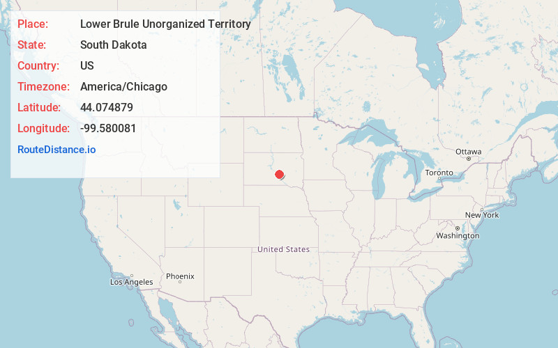
Full AddressLower Brule Unorganized Territory, SD
-
Coordinates44.0748794, -99.5800809
-
LocationLower Brule Unorganized Territory , South Dakota , US
-
TimezoneAmerica/Chicago
-
Current Local Time9:37:10 AM America/ChicagoMonday, June 23, 2025
-
Page Views0
About Lower Brule Unorganized Territory
The Lower Brule Indian Reservation is an Indian reservation that belongs to the Lower Brule Sioux Tribe. It is located on the west bank of the Missouri River in Lyman and Stanley counties in central South Dakota in the United States. The Crow Creek Indian Reservation is on the east bank of the river.


Nearby Places
Found 10 places within 50 miles

Lower Brule
0.0 mi
0.0 km
Lower Brule, SD 57548
Get directions

Council House
0.5 mi
0.8 km
Council House, Lower Brule, SD 57548
Get directions

Fort Thompson
7.1 mi
11.4 km
Fort Thompson, SD
Get directions
Stephan
13.5 mi
21.7 km
Stephan, SD 57345
Get directions

Reliance
13.6 mi
21.9 km
Reliance, SD 57569
Get directions
Lyman
15.6 mi
25.1 km
Lyman, SD 57569
Get directions

South Dakota
17.6 mi
28.3 km
South Dakota
Get directions
Grosse
17.8 mi
28.6 km
Grosse, West Point Township, SD 57325
Get directions
Kennebec
18.3 mi
29.5 km
Kennebec, SD 57544
Get directions
Crow Creek
19.6 mi
31.5 km
Crow Creek, SD 57370
Get directions
Location Links
Local Weather
Weather Information
Coming soon!
Location Map
Static map view of Lower Brule Unorganized Territory, South Dakota
Browse Places by Distance
Places within specific distances from Lower Brule Unorganized Territory
Short Distances
Long Distances
Click any distance to see all places within that range from Lower Brule Unorganized Territory. Distances shown in miles (1 mile ≈ 1.61 kilometers).