Distance to Lower Falls, New Hampshire

Calculating Your Route
Just a moment while we process your request...
Location Information
-
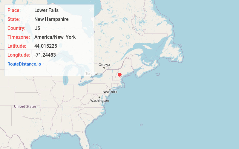
Full AddressLower Falls, Albany, NH 03818
-
Coordinates44.0152253, -71.2448302
-
LocationAlbany , New Hampshire , US
-
TimezoneAmerica/New_York
-
Current Local Time2:44:07 AM America/New_YorkTuesday, May 20, 2025
-
Page Views0
Nearby Places
Found 10 places within 50 miles

Bartlett
4.1 mi
6.6 km
Bartlett, NH
Get directions

Hales Location
4.5 mi
7.2 km
Hales Location, NH
Get directions

Albany
4.9 mi
7.9 km
Albany, NH
Get directions

Diana's Baths
5.8 mi
9.3 km
Diana's Baths, Bartlett, NH 03812
Get directions

Pequawket Pond
6.2 mi
10.0 km
Pequawket Pond, New Hampshire 03818
Get directions

Conway
6.8 mi
10.9 km
Conway, NH
Get directions

Hart's Location
7.1 mi
11.4 km
Hart's Location, NH
Get directions

Hadley's Purchase
8.5 mi
13.7 km
Hadley's Purchase, NH
Get directions

Madison
9.3 mi
15.0 km
Madison, NH
Get directions

Jackson
9.5 mi
15.3 km
Jackson, NH
Get directions
Location Links
Local Weather
Weather Information
Coming soon!
Location Map
Static map view of Lower Falls, New Hampshire
Browse Places by Distance
Places within specific distances from Lower Falls
Short Distances
Long Distances
Click any distance to see all places within that range from Lower Falls. Distances shown in miles (1 mile ≈ 1.61 kilometers).