Distance to Lower Peach Tree, Alabama

Calculating Your Route
Just a moment while we process your request...
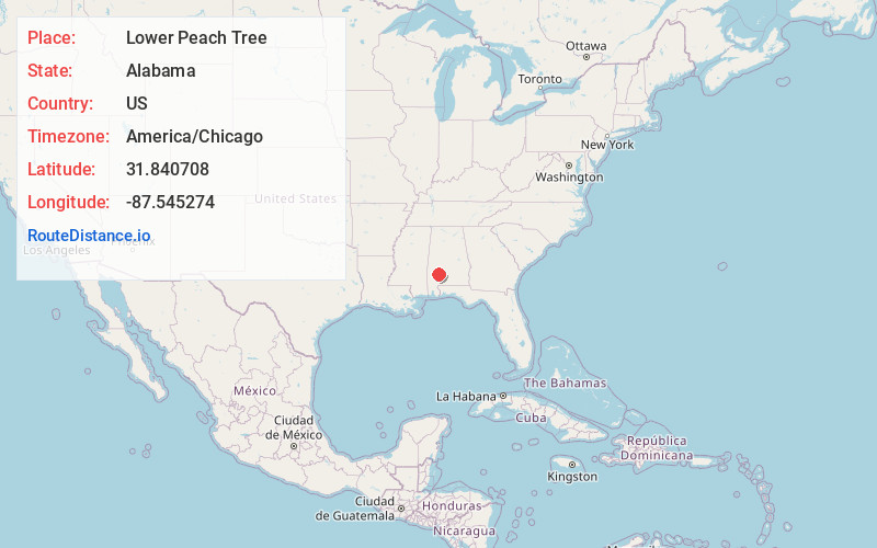
Location Information
-
Full AddressLower Peach Tree, AL 36751
-
Coordinates31.8407077, -87.5452737
-
LocationLower Peach Tree , Alabama , US
-
TimezoneAmerica/Chicago
-
Current Local Time11:03:58 AM America/ChicagoThursday, June 19, 2025
-
Page Views1
About Lower Peach Tree
Lower Peach Tree is an unincorporated community in Wilcox County, Alabama, United States.
The community was named for a peach tree which stood near the original town site. This town was devastated by an F4 Tornado on March 21, 1913, killing 27 people.
Nearby Places
Found 10 places within 50 miles

Culpeper
3.7 mi
6.0 km
Culpeper, AL 36751
Get directions
Nettleboro
5.4 mi
8.7 km
Nettleboro, AL 36751
Get directions
Packards Bend
5.5 mi
8.9 km
Packards Bend, AL 36751
Get directions
Coy
6.1 mi
9.8 km
Coy, AL 36435
Get directions
Sheppard
6.2 mi
10.0 km
Sheppard, AL 36435
Get directions
Asahel
7.5 mi
12.1 km
Asahel, AL 36435
Get directions
Hestle
7.8 mi
12.6 km
Hestle, AL 36769
Get directions
Scyrene
8.4 mi
13.5 km
Scyrene, AL 36482
Get directions
Tinela
9.0 mi
14.5 km
Tinela, AL 36444
Get directions
MacMillan
9.2 mi
14.8 km
MacMillan, AL 36769
Get directions
Location Links
Local Weather
Weather Information
Coming soon!
Location Map
Static map view of Lower Peach Tree, Alabama
Browse Places by Distance
Places within specific distances from Lower Peach Tree
Short Distances
Long Distances
Click any distance to see all places within that range from Lower Peach Tree. Distances shown in miles (1 mile ≈ 1.61 kilometers).