Distance to Lower Peanut, Pennsylvania

Calculating Your Route
Just a moment while we process your request...
Location Information
-
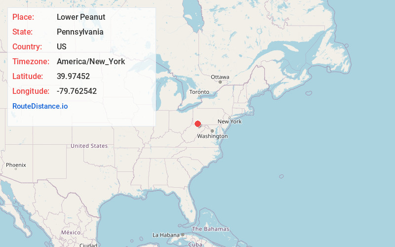
Full AddressLower Peanut, Franklin Township, PA 15480
-
Coordinates39.9745202, -79.762542
-
LocationFranklin Township , Pennsylvania , US
-
TimezoneAmerica/New_York
-
Current Local Time3:20:07 AM America/New_YorkMonday, June 2, 2025
-
Page Views0
Nearby Places
Found 10 places within 50 miles

Smock
2.0 mi
3.2 km
Smock, PA 15480
Get directions

Menallen Township
2.4 mi
3.9 km
Menallen Township, PA
Get directions
Phillips
3.0 mi
4.8 km
Phillips, North Union Township, PA 15401
Get directions
Tippecanoe
3.1 mi
5.0 km
Tippecanoe, Franklin Township, PA 15480
Get directions
Grindstone-Rowes Run
4.0 mi
6.4 km
Grindstone-Rowes Run, PA 15442
Get directions
Redstone Township
4.1 mi
6.6 km
Redstone Township, PA
Get directions

Oliver
4.5 mi
7.2 km
Oliver, PA 15401
Get directions

Grindstone
4.7 mi
7.6 km
Grindstone, PA 15442
Get directions
Newboro
5.2 mi
8.4 km
Newboro, Menallen Township, PA 15468
Get directions
New Salem
5.2 mi
8.4 km
New Salem, PA 15468
Get directions
Location Links
Local Weather
Weather Information
Coming soon!
Location Map
Static map view of Lower Peanut, Pennsylvania
Browse Places by Distance
Places within specific distances from Lower Peanut
Short Distances
Long Distances
Click any distance to see all places within that range from Lower Peanut. Distances shown in miles (1 mile ≈ 1.61 kilometers).