Distance to Smock, Pennsylvania

Calculating Your Route
Just a moment while we process your request...
Location Information
-
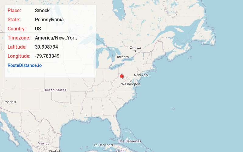
Full AddressSmock, PA 15480
-
Coordinates39.9987937, -79.7833491
-
LocationSmock , Pennsylvania , US
-
TimezoneAmerica/New_York
-
Current Local Time5:57:43 AM America/New_YorkThursday, June 19, 2025
-
Page Views0
About Smock
Smock is an unincorporated community and census-designated place that is located in Franklin and Menallen townships in Fayette County, Pennsylvania, United States. Situated roughly halfway between the borough of Perryopolis and the city of Uniontown, it is part of the Pittsburgh metropolitan area.

Nearby Places
Found 10 places within 50 miles

Grindstone
2.9 mi
4.7 km
Grindstone, PA 15442
Get directions

Menallen Township
3.4 mi
5.5 km
Menallen Township, PA
Get directions
Redstone Township
3.5 mi
5.6 km
Redstone Township, PA
Get directions

Republic
5.5 mi
8.9 km
Republic, PA
Get directions

Brownsville
5.6 mi
9.0 km
Brownsville, PA 15417
Get directions
Buffington
5.7 mi
9.2 km
Buffington, PA 15468
Get directions
New Salem
5.8 mi
9.3 km
New Salem, PA 15468
Get directions

West Brownsville
5.9 mi
9.5 km
West Brownsville, PA
Get directions
Hiller
6.3 mi
10.1 km
Hiller, PA
Get directions

Perryopolis
6.3 mi
10.1 km
Perryopolis, PA 15473
Get directions
Location Links
Local Weather
Weather Information
Coming soon!
Location Map
Static map view of Smock, Pennsylvania
Browse Places by Distance
Places within specific distances from Smock
Short Distances
Long Distances
Click any distance to see all places within that range from Smock. Distances shown in miles (1 mile ≈ 1.61 kilometers).