Distance to Lower Yosemite Fall, California

Calculating Your Route
Just a moment while we process your request...
Location Information
-
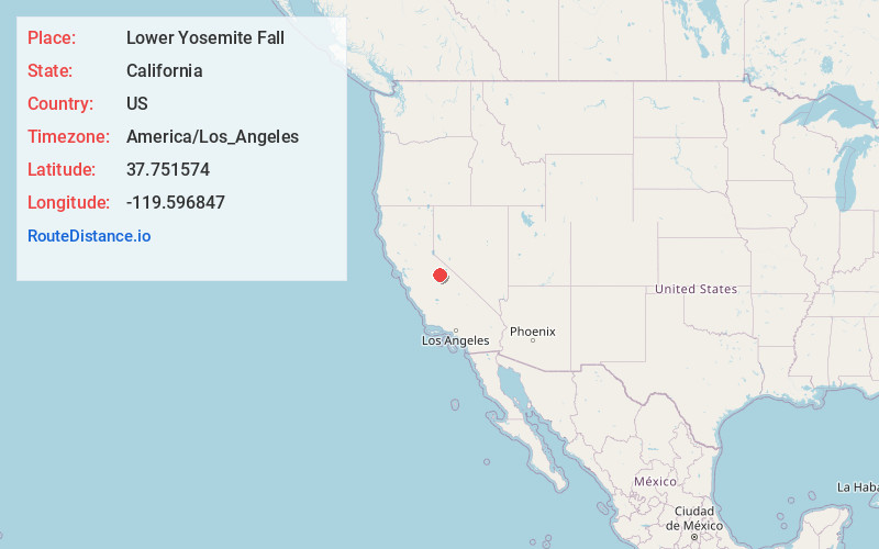
Full AddressLower Yosemite Fall, California
-
Coordinates37.7515742, -119.5968468
-
LocationCalifornia , US
-
TimezoneAmerica/Los_Angeles
-
Current Local Time6:25:17 PM America/Los_AngelesFriday, May 23, 2025
-
Page Views0


Nearby Places
Found 10 places within 50 miles

Yosemite Valley
0.5 mi
0.8 km
Yosemite Valley, CA 95389
Get directions

Curry Village
1.5 mi
2.4 km
Curry Village, Yosemite Valley, CA 95389
Get directions

Glacier Point
2.1 mi
3.4 km
Glacier Point, California
Get directions

Snow Creek Falls
3.5 mi
5.6 km
Snow Creek Falls, California
Get directions

Yosemite National Park
8.5 mi
13.7 km
Yosemite National Park, California
Get directions

White Wolf Campground
8.7 mi
14.0 km
White Wolf Campground, TUOLUMNE MEADOWS, CA 95389
Get directions

Foresta
9.2 mi
14.8 km
Foresta, CA
Get directions

Yosemite West
9.7 mi
15.6 km
Yosemite West, CA 95389
Get directions

El Portal
11.1 mi
17.9 km
El Portal, CA
Get directions

Aspen Valley
11.2 mi
18.0 km
Aspen Valley, California
Get directions
Location Links
Local Weather
Weather Information
Coming soon!
Location Map
Static map view of Lower Yosemite Fall, California
Browse Places by Distance
Places within specific distances from Lower Yosemite Fall
Short Distances
Long Distances
Click any distance to see all places within that range from Lower Yosemite Fall. Distances shown in miles (1 mile ≈ 1.61 kilometers).