Distance to Foresta, California

Calculating Your Route
Just a moment while we process your request...
Location Information
-
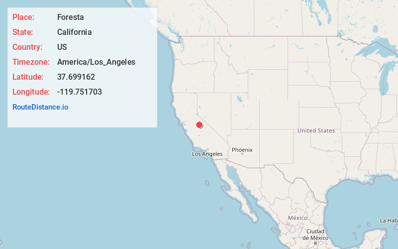
Full AddressForesta, CA
-
Coordinates37.6991617, -119.7517032
-
LocationForesta , California , US
-
TimezoneAmerica/Los_Angeles
-
Current Local Time1:34:05 PM America/Los_AngelesMonday, June 23, 2025
-
Page Views0
About Foresta
Foresta is an unincorporated community and a census-designated place in Mariposa County, California, within Yosemite National Park.


Nearby Places
Found 10 places within 50 miles

El Portal
2.1 mi
3.4 km
El Portal, CA
Get directions

Yosemite Valley
9.2 mi
14.8 km
Yosemite Valley, CA 95389
Get directions

Wawona
12.0 mi
19.3 km
Wawona, CA 95389
Get directions

Midpines
13.9 mi
22.4 km
Midpines, CA
Get directions

Bootjack
17.8 mi
28.6 km
Bootjack, CA 95338
Get directions

Mariposa
18.7 mi
30.1 km
Mariposa, CA 95338
Get directions

Nipinnawasee
20.5 mi
33.0 km
Nipinnawasee, CA 93601
Get directions
Mt Bullion
20.7 mi
33.3 km
Mt Bullion, CA 95338
Get directions
Greeley Hill
20.9 mi
33.6 km
Greeley Hill, CA
Get directions

Ahwahnee
23.1 mi
37.2 km
Ahwahnee, CA
Get directions
Location Links
Local Weather
Weather Information
Coming soon!
Location Map
Static map view of Foresta, California
Browse Places by Distance
Places within specific distances from Foresta
Short Distances
Long Distances
Click any distance to see all places within that range from Foresta. Distances shown in miles (1 mile ≈ 1.61 kilometers).