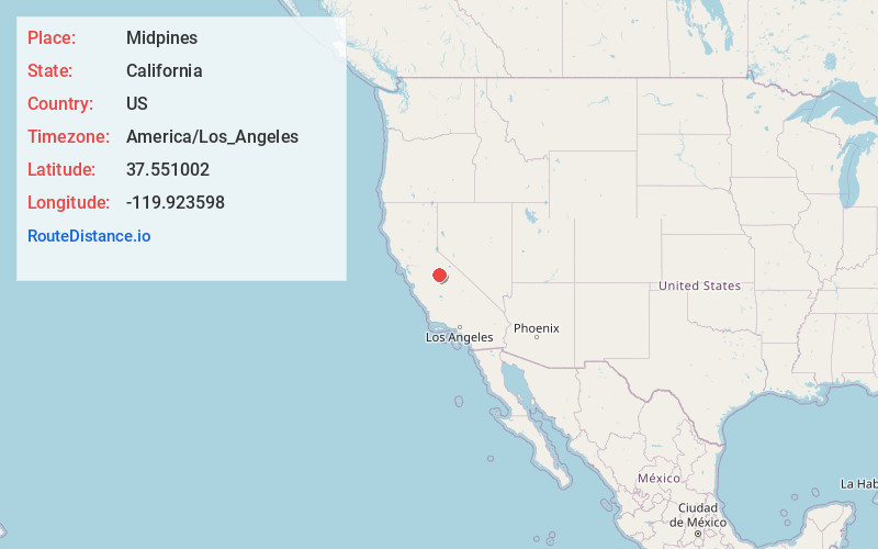
Distance to Midpines, California

Calculating Your Route
Just a moment while we process your request...
Location Information
-
Full AddressMidpines, CA
-
Coordinates37.5510022, -119.9235975
-
LocationMidpines , California , US
-
TimezoneAmerica/Los_Angeles
-
Current Local Time6:37:48 AM America/Los_AngelesWednesday, May 21, 2025
-
Page Views0
About Midpines
Midpines is a census-designated place in Mariposa County, California. It lies among the Sierra Nevada foothills of the central part of the state at an elevation of 2,585 feet, 5 miles northeast of Mariposa, the county seat, and 22 miles by road southwest of El Portal.


Nearby Places
Found 10 places within 50 miles

Mariposa
4.8 mi
7.7 km
Mariposa, CA 95338
Get directions

Bootjack
6.3 mi
10.1 km
Bootjack, CA 95338
Get directions

El Portal
11.8 mi
19.0 km
El Portal, CA
Get directions

Catheys Valley
12.6 mi
20.3 km
Catheys Valley, CA
Get directions

Nipinnawasee
14.6 mi
23.5 km
Nipinnawasee, CA 93601
Get directions

Ahwahnee
16.8 mi
27.0 km
Ahwahnee, CA
Get directions
Greeley Hill
17.5 mi
28.2 km
Greeley Hill, CA
Get directions

Oakhurst
21.5 mi
34.6 km
Oakhurst, CA
Get directions

Yosemite Valley
22.5 mi
36.2 km
Yosemite Valley, CA 95389
Get directions

Coarsegold
23.4 mi
37.7 km
Coarsegold, CA 93614
Get directions
Location Links
Local Weather
Weather Information
Coming soon!
Location Map
Static map view of Midpines, California
Browse Places by Distance
Places within specific distances from Midpines
Short Distances
Long Distances
Click any distance to see all places within that range from Midpines. Distances shown in miles (1 mile ≈ 1.61 kilometers).