Distance to Nipinnawasee, California

Calculating Your Route
Just a moment while we process your request...
Location Information
-
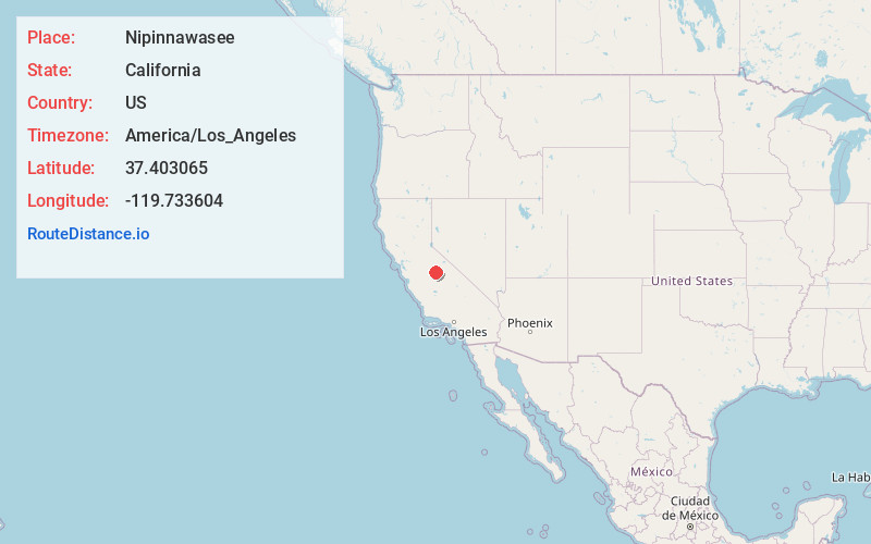
Full AddressNipinnawasee, CA 93601
-
Coordinates37.4030652, -119.7336038
-
LocationNipinnawasee , California , US
-
TimezoneAmerica/Los_Angeles
-
Current Local Time1:27:01 PM America/Los_AngelesTuesday, July 1, 2025
-
Page Views0
About Nipinnawasee
Nipinnawasee is a census-designated place in Madera County, California, United States. It is located 1 mile southeast of Miami Mountain in the Sierra Nevada, 14 miles southeast of Mariposa, at an elevation of 2,930 feet. The population was 434 at the 2020 census.
Nearby Places
Found 10 places within 50 miles

Ahwahnee
2.6 mi
4.2 km
Ahwahnee, CA
Get directions

Oakhurst
7.0 mi
11.3 km
Oakhurst, CA
Get directions

Bootjack
9.4 mi
15.1 km
Bootjack, CA 95338
Get directions

Coarsegold
10.0 mi
16.1 km
Coarsegold, CA 93614
Get directions

Mariposa
14.5 mi
23.3 km
Mariposa, CA 95338
Get directions

Yosemite Lakes
14.8 mi
23.8 km
Yosemite Lakes, CA
Get directions

North Fork
17.2 mi
27.7 km
North Fork, CA
Get directions

El Portal
19.0 mi
30.6 km
El Portal, CA
Get directions

Catheys Valley
20.1 mi
32.3 km
Catheys Valley, CA
Get directions

Yosemite Valley
24.9 mi
40.1 km
Yosemite Valley, CA 95389
Get directions
Location Links
Local Weather
Weather Information
Coming soon!
Location Map
Static map view of Nipinnawasee, California
Browse Places by Distance
Places within specific distances from Nipinnawasee
Short Distances
Long Distances
Click any distance to see all places within that range from Nipinnawasee. Distances shown in miles (1 mile ≈ 1.61 kilometers).