Distance to Lowerytown, Alabama

Calculating Your Route
Just a moment while we process your request...
Location Information
-
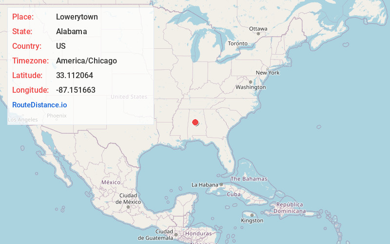
Full AddressLowerytown, AL 35184
-
Coordinates33.1120638, -87.1516628
-
LocationAlabama , US
-
TimezoneAmerica/Chicago
-
Current Local Time11:01:33 PM America/ChicagoWednesday, June 18, 2025
-
Page Views0
Nearby Places
Found 10 places within 50 miles

West Blocton
1.6 mi
2.6 km
West Blocton, AL 35184
Get directions

McCulley
4.1 mi
6.6 km
McCulley, AL 35184
Get directions
Vernontown
4.6 mi
7.4 km
Vernontown, AL 35184
Get directions

Vance
6.4 mi
10.3 km
Vance, AL
Get directions
Woodstock
6.5 mi
10.5 km
Woodstock, AL
Get directions
Docray
7.8 mi
12.6 km
Docray, AL 35188
Get directions
Garnsey
8.5 mi
13.7 km
Garnsey, AL 35035
Get directions
Garnsey Number 2
9.9 mi
15.9 km
Garnsey Number 2, AL 35115
Get directions
Gary Springs
10.6 mi
17.1 km
Gary Springs, AL 35042
Get directions
Coaling
11.4 mi
18.3 km
Coaling, AL
Get directions
Location Links
Local Weather
Weather Information
Coming soon!
Location Map
Static map view of Lowerytown, Alabama
Browse Places by Distance
Places within specific distances from Lowerytown
Short Distances
Long Distances
Click any distance to see all places within that range from Lowerytown. Distances shown in miles (1 mile ≈ 1.61 kilometers).